What is recorded here
Indicated (1838). is a cairn, unclassified in Mount Town, County Sligo, Ireland. The 1838 Ordnance Survey map shows a roughly circular stone pile about forty metres wide, located one hundred metres south-southwest of a mound barrow. Quarrying later lowered the field by one and a half metres, removing visible traces of the cairn and leaving large boulders piled against the boundary.
In rough pasture, on the N side of a ridge and on the W side of a road. Indicated on the 1838 OS 6-inch map as a roughly circular pile of stones (diam. c. 40m), c. 100m SSW of a mound barrow (SL034-064----). There are no visible remains of the cairn. According to local information, the level of the field was previously c. 1.5m higher but was subsequently lowered due to quarrying and large boulders encountered during the quarrying are piled against the adjacent field boundary.
The above description is derived from the published 'Archaeological Inventory of County Sligo' compiled by Ursula Egan, Elizabeth Byrne, Mary Sleeman with Sheila Ronan and Connie Murphy (Dublin Stationery Office, 2005).
Date of upload: 18 January 2008
This remains an important historical record, but the official description says the monument is no longer visible or has been destroyed. The monument record does not grant public access. Check the route and ask the landowner before entering private land.
- What survives
- No visible remains or recorded as destroyed
Places near here
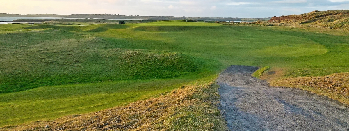 LisheenagloghFairy fort / earthen ringfort · 222 yd
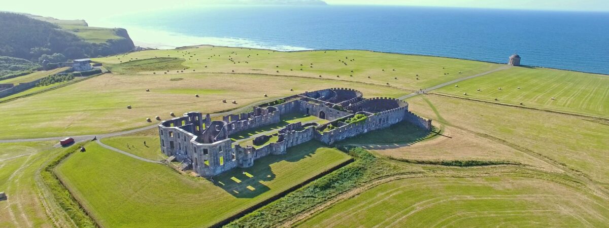 Enclosure in UmmeryroeEnclosure · 421 yd
 Penitential station in CoollemoneenPenitential station · 1063 yd
 CastleCastle, motte and bailey · 1467 yd
 Saint Columb's Catholic Churchchurch/chapel · 1.0 mi
 Barroe NorthMountain / peak · 2.4 mi
 Geevagh Prisoners 1908 MemorialMemorial · 2.8 mi
 Carrane HillCliff · 2.8 mi
 Ballindoon Castle (in Ruins)Castle, unclassified · 3.2 mi
 Annaghgowla IslandIslet · 3.7 mi
 InishmoreIslet · 3.7 mi
 Riverstown Folk ParkHeritage attraction · 3.8 mi