What is recorded here
The fairy fort or earthen ringfort in Gortakeeran is in County Sligo, Ireland. The 1838 Ordnance Survey map shows an embanked circular area about twenty metres across on a gentle south-facing slope in rough pasture. A farm shed and concrete yard now cover or border the eastern part, hiding the possible rath from ground view. Another rath lies forty metres to the west.
In rough pasture, on a gentle S-facing slope. Indicated on the 1838 OS 6-inch map as an embanked circular area (diam. c. 20m). This possible rath is not visible at ground level; a farm shed and concrete yard have been built on or close to it at E. A rath (SL025-005----) lies c. 40m to W.
The above description is derived from the published 'Archaeological Inventory of County Sligo' compiled by Ursula Egan, Elizabeth Byrne, Mary Sleeman with Sheila Ronan and Connie Murphy (Dublin Stationery Office, 2005).
Date of upload: 18 January 2008
The monument record does not grant public access. Check the route and ask the landowner before entering private land.
- What survives
- Recorded monument
Places near here
 IndicatedEnclosure · 349 yd
 Cabragh Wedge TombArchaeological place · 1091 yd
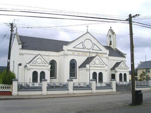 Catholic Church of the Sacred Heart and Saint Josephchurch/chapel · 1.6 mi
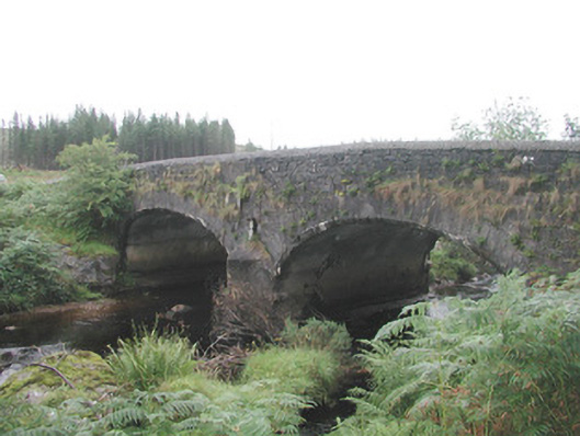 Carha Bridgebridge · 1.7 mi
 CloonaghMountain / peak · 1.8 mi
 Pigeonpark WoodForest · 2.7 mi
 DoomoreMountain / peak · 2.8 mi
 Valley WoodForest · 2.9 mi
 Bawn in Longford DemesneBawn · 2.9 mi
 Moymlough Castle (in Ruins)Castle, tower house · 3.8 mi
 Giant's GraveArchaeological place · 4.1 mi
 Derinch PointHeadland · 4.4 mi