What is recorded here
The hut site in Carrowneden (leyny By.) is in County Sligo, Ireland. Its 8.2 by 8.8 metre interior is bounded by a 2.6 metre wide bank with a 2 metre southern gap and a field-clearance cairn attached at the northwest. The bank stands 0.45 metres high internally and 0.5 metres externally, bulging outward at the northwest while the floor slopes gently south.
In pasture, on a gentle SSE-facing slope and c. 40m W of a cashel (SL025-083----). A slightly raised circular area (8.2m E-W; 8.8m N-S) defined by a sod-covered bank of earth and stone. The bank (Wth 2.6m; int. H 0.45m; ext. H 0.5m) bulges outwards at NW. There is a gap (Wth 2m) in the bank at S. The interior slopes gently down to S. A field-clearance cairn abuts the internal face of the bank at NW.
The above description is derived from the published 'Archaeological Inventory of County Sligo' compiled by Ursula Egan, Elizabeth Byrne, Mary Sleeman with Sheila Ronan and Connie Murphy (Dublin Stationery Office, 2005).
Date of upload: 18 January 2008
The monument record does not grant public access. Check the route and ask the landowner before entering private land.
- What survives
- Recorded monument
Places near here
 IndicatedFairy fort / earthen ringfort · 274 yd
 Hachured (1838).Fairy fort / earthen ringfort · 546 yd
 Carrowmore National Schoolschool · 1572 yd
 KnocknasheeMountain / peak · 1.1 mi
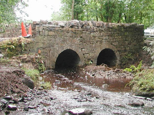 bridgebridge · 1.2 mi
 CastleCastle, unclassified · 3.0 mi
 Muckelty HillMountain / peak · 3.6 mi
 The Turf Stack RockNamed rock · 3.8 mi
 European ashEuropean ash · 4.2 mi
 ElderElder · 4.7 mi
 White RockNamed rock · 5.6 mi
 Enclosure in CarrowmurrayEnclosure · 581 yd