
What is recorded here
In pasture, on a gentle SE-facing slope. A slightly raised circular area (diam. c. 20m) enclosed by an earth and stone bank with an external fosse. The bank (Wth 4.2m; int. H 0.8m; ext. H 1.2m), best evident W-ESE, is possibly incorporated into a field fence at SE and difficult to trace due to disturbance and overgrowth elsewhere. A field boundary respects the line of the bank NW-NE and probably marks the outer edge of a silted-up fosse at this point. The fosse is evident as a shallow depression (Wth 3m) WSW-WNW. The interior is densely overgrown with trees and bushes and has been extensively disturbed by quarrying. Apart from a narrow band inside the bank W-E, the surface of the interior has been quarried away to a depth of 1.3m. Beneath the overgrowth, large boulders and heaps of stones were noted. There is a field boundary immediately E of the rath.
The above description is derived from the published 'Archaeological Inventory of County Sligo' compiled by Ursula Egan, Elizabeth Byrne, Mary Sleeman with Sheila Ronan and Connie Murphy (Dublin Stationery Office, 2005).
Date of upload: 18 January 2008
The monument record does not grant public access. Check the route and ask the landowner before entering private land.
- What survives
- Recorded monument
Places near here
 Enclosure in CarrowmurrayEnclosure · 720 yd
 Hachured (1838).Fairy fort / earthen ringfort · 820 yd
 Carrowmore National Schoolschool · 1420 yd
 KnocknasheeMountain / peak · 1.1 mi
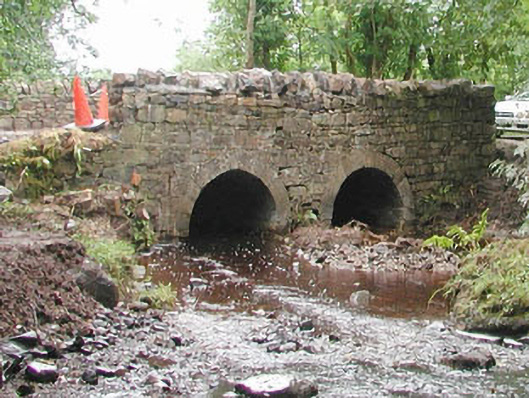 bridgebridge · 1.4 mi
 CastleCastle, unclassified · 3.0 mi
 Muckelty HillMountain / peak · 3.5 mi
 The Turf Stack RockNamed rock · 3.7 mi
 European ashEuropean ash · 4.3 mi
 ElderElder · 4.8 mi
 White RockNamed rock · 5.5 mi
 Man-made underground passage in BelraMan-made underground passage · 1314 yd
Other information
Photo: Credit not shown in the picture search · Rights wording not checked; contact us if this picture should be removed