
What is recorded here
Indicated (1838). is a fairy fort or earthen ringfort in Ardline, County Sligo, Ireland. It occupied a SE-facing slope close to the top of a drumlin but became invisible at ground level. The 1838 OS 6-inch map showed an embanked circular area about thirty metres across, while the 1914 map retained only a curving field boundary that may have followed the original bank.
On a SE-facing slope, close to the top of a drumlin. This possible rath is not visible at ground level. It was indicated on the 1838 OS 6-inch map as an embanked circular area (diam. c. 30m). Only a NNE-SE curving field boundary, possibly incorporating the bank of the enclosure, is indicated on the 1914 OS 6-inch map.
The above description is derived from the published 'Archaeological Inventory of County Sligo' compiled by Ursula Egan, Elizabeth Byrne, Mary Sleeman with Sheila Ronan and Connie Murphy (Dublin Stationery Office, 2005).
Date of upload: 18 January 2008
The monument record does not grant public access. Check the route and ask the landowner before entering private land.
- What survives
- Recorded monument
Places near here
 Enclosure in ArdlineEnclosure · 594 yd
 Enclosure in RoverEnclosure · 828 yd
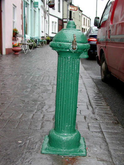 water pumpwater pump · 1206 yd
 Josie McDermott MemorialMemorial · 1228 yd
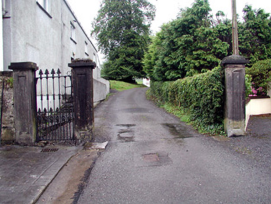 Alderford Housegates/railings/walls · 1297 yd
 Roundhouse Hill WoodForest · 1.4 mi
 Green IslandIslet · 1.4 mi
 Annagh WoodForest · 1.5 mi
 Tobar Ailbhe Holy WellMemorial · 1.7 mi
 Stony IslandIslet · 2.2 mi
 Kilronan MountainMountain / peak · 3.0 mi
 Barroe NorthMountain / peak · 3.4 mi
Other information
Photo: Credit not shown in the picture search · Rights wording not checked; contact us if this picture should be removed