
What is recorded here
Indicated (1895-6) is a ruined fairy fort in County Kerry, Ireland, where modern walling has swallowed the ancient circular shape. A large upright slab at the west may still mark the entrance, while original drystone faces protrude beneath the later builds. Legend claims stone boxes full of periwinkles emerged when people removed rocks from its interior, hinting that the fort keeps its own strange treasure hidden under pasture and forgetting.
This severely disturbed enclosure no longer retains the Circular outline indicated on the first edition of the OS map. It is situated in elevated pasture overlooking the Finglas river. Most of the enclosing element has been replaced with modern walling, giving the site its present irregular outline. A section of the original drystone-faced walling is preserved at NE, and remnants of it protrude at S from beneath the later wall. One large upright slab at W, set at right angles to the line of the wall, may represent the location of the entrance. A low bank adjacent to the enclosure at SW may be the result of field clearance. Heavy vegetation prevented a detailed examination of the site. This may be the 'fort' referred to by Henry, who was informed that while removing stones from its interior 'several stone boxes full of periwinkles' were uncovered(1957,139).
The above description is derived from A. O'Sullivan and J. Sheehan (compilers), 'The Iveragh peninsula: an archaeological survey of South Kerry'. Cork University Press (1996), no. 692. In certain instances the entries have been revised and updated in the light of recent research.
Date of upload: 29 July 2013
The monument record does not grant public access. Check the route and ask the landowner before entering private land.
- What survives
- Recorded monument
Places near here
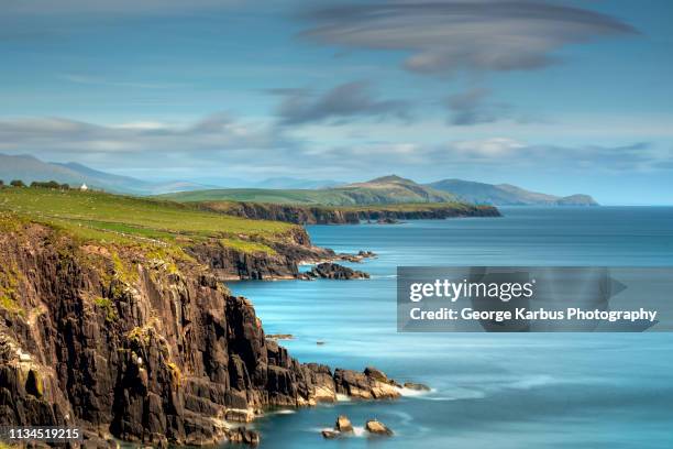 IndicatedFairy fort / stone ringfort · 317 yd
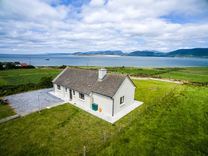 Hut site in An Seanchnoc (dún Cíaráin Theas)Hut site · 359 yd
 CastleCastle, tower house · 1677 yd
 Church in BaslickaneChurch · 1697 yd
 Templenakilla (in Ruins)Church · 1.0 mi
 An Bheann MhórMountain / peak · 1.3 mi
 Farraniaragh MountainMountain / peak · 1.6 mi
 Waterville PromenadeWalking route · 1.9 mi
 T. C. Millerick MemorialMemorial · 1.9 mi
 Butler MemorialMemorial · 2.0 mi
 Com An ChisteViewpoint · 2.4 mi
 An PlaoscHeadland · 2.4 mi
Other information
Photo: Credit not shown in the picture search · Rights wording not checked; contact us if this picture should be removed