What is recorded here
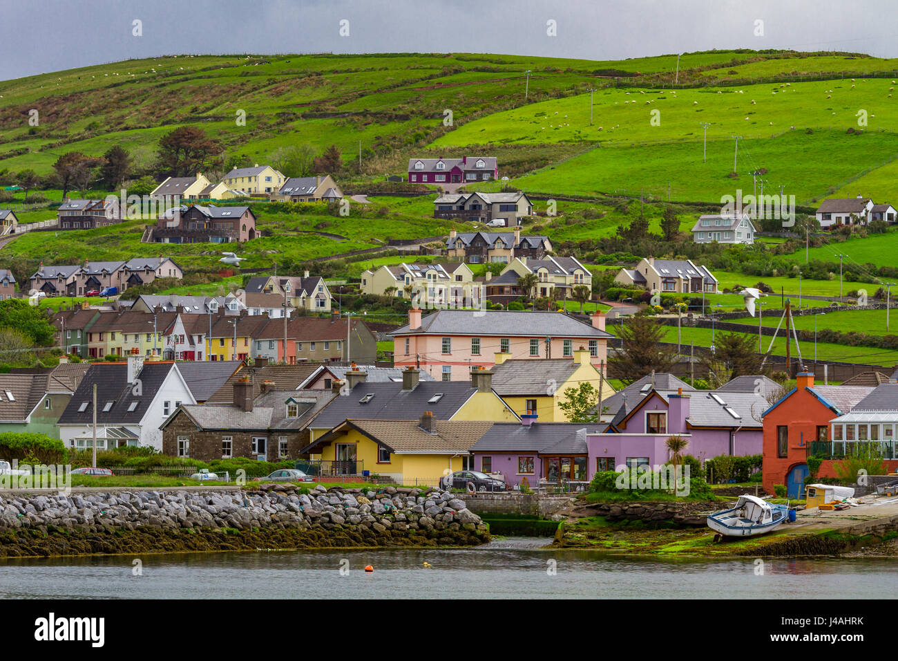
Indicated (1846) is a low earthen ringfort in level Kerry pasture, marked on the 1846 Ordnance Survey map as a roughly circular enclosure about thirty metres across. Its shallow bank and concave interior suggest a small domestic or ritual site rather than a grand fortress, while the prostrate stone in the north quadrant hints that people once placed, moved or remembered something there. The road and field boundary pressing against it show how quickly ordinary life can smooth the edges of an older shape.
In level pasture, immediately NE of the Dooneen-Knockatagglebeg road. A circular area (c. 32m N-S) defined by a low earthen bank (Wth 9m; int. H 0.4m; ext. H 0.12m). An NE-SW field boundary (H c. 1.6m) skirts the bank at SE. The interior is concave. A prostrate stone lies in the N quadrant. A road boundary abuts the bank tangentially along the SW arc. The rath is indicated on the 1846 OS 6-inch map as a roughly circular enclosure (diam. c. 30m).
Compiled by: Elizabeth Byrne, Ursula Egan and Sheila Ronan, Archaeological Survey Unit, University College, Cork.
Date of upload: 31 January 2011
The monument record does not grant public access. Check the route and ask the landowner before entering private land.
- What survives
- Recorded monument
Places near here
 CaveMan-made underground passage · 251 yd
 Enclosure in CleedaghEnclosure · 475 yd
 Church in Glebe (magunihy By., Kilcummin Ed)Church · 577 yd
 Dooneen Br.Bridge · 1096 yd
 Famine MemorialMemorial · 3.4 mi
 Aghadoe Early Medieval Ecclesiastical SiteHeritage attraction · 3.6 mi
 GinkgoGinkgo · 3.6 mi
 Parkavonear CastleCastle · 3.6 mi
 Kerry 2nd Brigade of the Irish Republican ArmyMemorial · 3.6 mi
 Giant SequoiaGiant Sequoia · 3.9 mi
 Jaunting ToursHeritage attraction · 3.9 mi
 Circular WalkWalking route · 3.9 mi
Other information
Photo: Credit not shown in the picture search · Rights wording not checked; contact us if this picture should be removed