
What is recorded here
Located on a slight eminence overlooking Darrynane Bay to SW, this poorly preserved enclosure occurs in a dense thicket. A more recent square enclosure overlies it, and the original enclosing bank is only clearly visible at NE. It is marked as a circular enclosure on the first edition of the OS map, and the overall dimensions of the site are 12m N-S x 19m E-W. At NE, large blocky boulders were used in its construction, but these are now sod-covered and survive only one course high. The remnants of a possible hut (KE106-056001-) appear to underlie the NE side of the later enclosure.
The above description is derived from A. O'Sullivan and J. Sheehan (compilers), 'The Iveragh peninsula: an archaeological survey of South Kerry'. Cork University Press (1996), no. 713. In certain instances the entries have been revised and updated in the light of recent research.
Date of upload: 29 July 2013
The monument record does not grant public access. Check the route and ask the landowner before entering private land.
- What survives
- Recorded monument
Places near here
 Hut site in CaherdanielHut site · 19 yd
 Enclosure in CaherdanielEnclosure · 78 yd
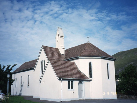 Saint Crohan's Catholic Churchchurch/chapel · 633 yd
 Ogham StoneVisitor information · 1590 yd
 Cahernageeha MountainMountain / peak · 1.0 mi
 Derrynane House / Teach Dhoire FhionáinHeritage attraction · 1.3 mi
 Teach Dhoire Fhíonáin [Derrynane House]country house · 1.3 mi
 Trá An Ráth / Rath BeachBeach / strand · 1.3 mi
 Páirc Náisiúnta Stairiúil Dhoire Fhíonáin / Derrynane National Historic ParkNature reserve · 1.3 mi
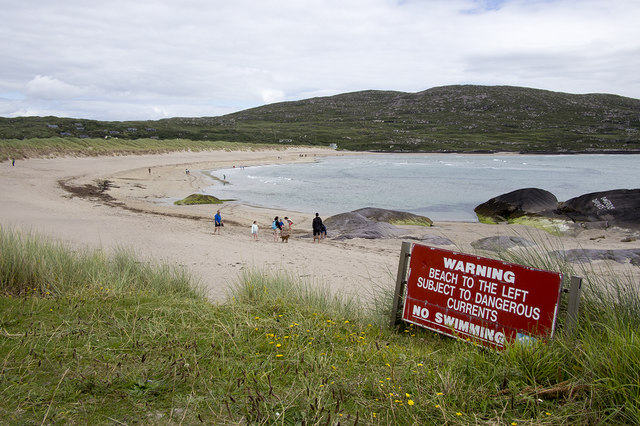 Derrynane Beach / Trá Doire FhíonáinBeach / strand · 1.4 mi
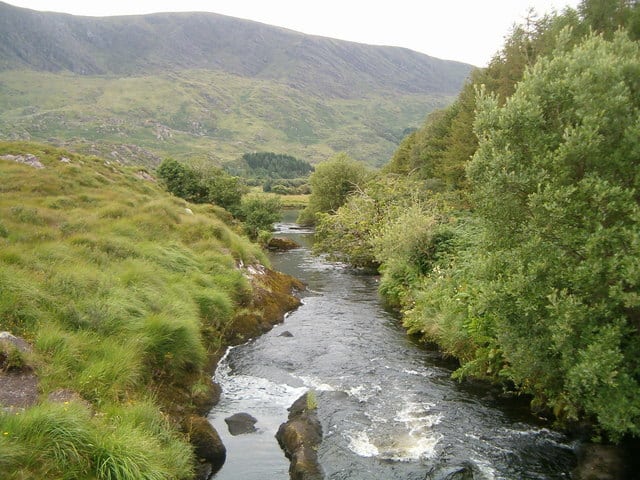 Eagle HillMountain / peak · 1.5 mi
 Lamb's IslandIslet · 2.1 mi
Other information
Photo: Credit not shown in the picture search · Rights wording not checked; contact us if this picture should be removed