What is recorded here
In rough hill grazing on a S-facing slope overlooking Derrynane Bay and the mouth of Kenmare Bay. This feature is depicted similar to an enclosure on the first edition (1846) OS 6-inch map. A stream extends from it is a pond. There are many loose stones in this area and two turf 'láthairs' (a stone base for stacking turf). This was identified as a turf láthair.
Compiled by: Elizabeth Byrne, Ursula Egan and Sheila Ronan, Archaeological Survey Unit, University College, Cork.
Date of upload: 30 May 2011
The monument record does not grant public access. Check the route and ask the landowner before entering private land.
- What survives
- Recorded monument
Places near here
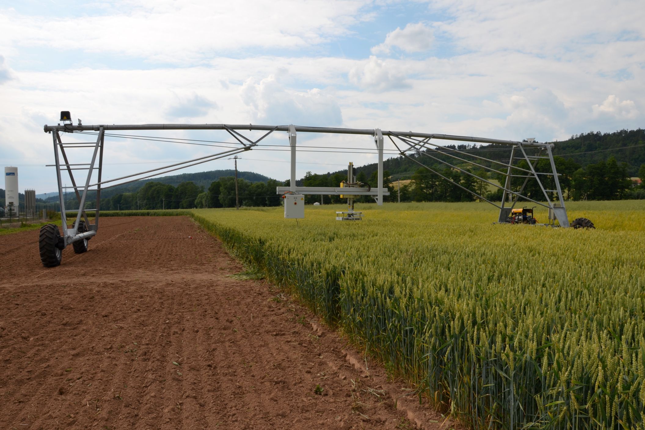 Field system in An Fearann IarthachField system · 414 yd
 Fairy fort / stone ringfort in An Fearann IarthachFairy fort / stone ringfort · 422 yd
 Com An ChisteViewpoint · 892 yd
 Farraniaragh MountainMountain / peak · 1142 yd
 Binn Uí RuaircMountain / peak · 1200 yd
 Church in An LótharChurch · 1440 yd
 Lamb's IslandIslet · 1.1 mi
 Derrynane Bay Beach / Trá Bhá Doire FhionáinBeach / strand · 1.3 mi
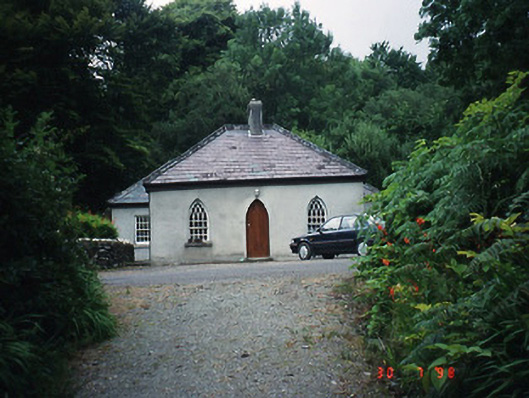 Teach Dhoire Fhíonáin [Derrynane House]gate lodge · 1.3 mi
 Páirc Náisiúnta Stairiúil Dhoire Fhíonáin / Derrynane National Historic ParkNature reserve · 1.3 mi
 Derrynane House / Teach Dhoire FhionáinHeritage attraction · 1.4 mi
 Abbey IslandIslet · 1.5 mi