What is recorded here
In level pasture, with stone circles (MA120-045----), (MA120-046----), (MA120-048----) to W and N. Circle incomplete, levelled SE to SW. Eighteen upright stones, representing the remains of two concentric circles, set on inner and outer face of earthen bank (H 0.5m). Ten stones lie prostrate on bank, levelled SE to SW. Orthostats are 0.3m to 1.3m L, 0.34m to 0.66m T, 0.3m to 1.42m H. Internal diameter 32.6m E-W. This is a national monument (no. 146) in state ownership.
The above description has been derived from D. Lavelle (compiler), An Archaeological Survey of Ballinrobe and District including Lough Mask and Lough Carra. Lough Mask and Lough Carra Tourist Development Association (1994), No. 6.
Date of upload: 5 December 2012
Probably dating to the Late Neolithic or Early Bronze Age, this standing stone is associated with a partially levelled stone circle, suggesting ritual or ceremonial use. The site may have been part of a broader landscape of seasonal or astronomical significance, though specific folklore or symbolic meaning is not recorded.
The monument record does not grant public access. Check the route and ask the landowner before entering private land.
- What survives
- Recorded monument
Places near here
 Stone CircleStone circle · 94 yd
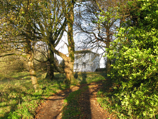 rectory/glebe/vicarage/curate's houserectory/glebe/vicarage/curate's house · 374 yd
 IndicatedFairy fort / stone ringfort · 733 yd
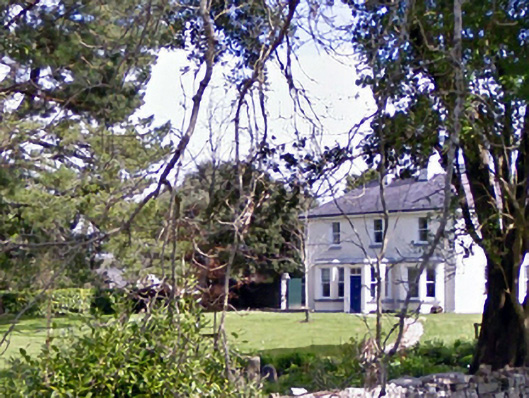 Glenninahouse · 922 yd
 Kelly's CaveCave · 1194 yd
 Caherduff CastleCastle · 1476 yd
 Cong AbbeyHeritage attraction · 1.1 mi
 Quiet Man MuseumMuseum · 1.1 mi
 European YewEuropean Yew · 1.1 mi
 TonacashlanCastle, unclassified · 1.1 mi
 Easter IslandIslet · 1.2 mi
 Silver FirSilver Fir · 1.3 mi