What is recorded here
Situated on a rise overlooking a shallow basin to the W. The early church site and the parish church of Nobber (ME005-071001-) are within a subcircular graveyard (dims c. 60m E-W; c. 55m N-S) defined by scarps (H c. 1m) that were retained by a low masonry wall (H c. 0.5m), which is still visible at S. This graveyard was not enclosed in 1682-5, according to Dopping (Ellison 1973, 4), but it was extended on all sides (dims c. 75m E-W; c. 50m N-S) except the N after the 1836 ed. of the OS 6-inch map was made, and it is now defined by masonry walls (H c. 2m). When the present Church of Ireland church was built in 1771 (Lewis 1837, 1, 443) the graveyard may have been cut back at N. The graveyard contains the decommisioned 18th century church with a stone head (ME005-071017-) in the S wall, the ruins of a medieval church (ME005-071001-), two high crosses (ME005-071007-, ME005-071008-), a cross-slab (ME005-071009-), the Cruise effigial tomb (ME005-071004-), a font (ME005-071005-), a cross-base (ME005-071002-), seven crosses (ME005-071003-, ME005-071010-, ME005-071011-, ME005-071012-, ME005-071013-, ME005-071014-, ME005-071015-), architectural fragments (ME005-071016-), two 17th century effigial tomb-covers (ME005-071018-; ME0056-071019-) and a medieval graveslab (ME005-071005-). King (2005, 24; 2007, 58-63) records a number of other items including two mill-stones, that would appear to date from the early medieval period.
Compiled by: Paul Walsh
Date of upload: 2 September 2013
Amended by: Michael Moore Date: 10 July, 2014
The monument record does not grant public access. Check the route and ask the landowner before entering private land.
- What survives
- Recorded monument
Places near here
 Cross in NobberCross · 8 yd
 Church of Saint John the Baptist (Nobber)church/chapel · 37 yd
 Nobber GreenwayMemorial · 53 yd
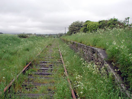 Nobber Railway Stationplatform · 86 yd
 MoatCastle, motte and bailey · 347 yd
 Enclosure in BrittasEnclosure · 968 yd
 Common LimeCommon Lime · 1264 yd
 Gallows HillMountain / peak · 1277 yd
 Cherburg WoodForest · 1736 yd
 Ugly HillMountain / peak · 1.5 mi
 Castletown FortCastle, motte and bailey · 2.7 mi
 Owenroe and Moynalty DrainageMemorial · 3.5 mi