What is recorded here
Indicated was a circular fairy fort on a gentle Mayo slope, large enough for a household but small enough to hide inside a ridge. Ploughs and patience erased most of its banks, yet the southern field fence still bends like the ghost of the outer wall. The land forgot the shape but the boundary remembered it, preserving a circle no longer visible to the eye.
In improved pasture, located on a gentle W-facing slope, just below the top of a low N–S ridge.
This possible rath is shown on the 1838 and 1930 OS 6-inch maps as a circular embanked enclosure (diam. 30-35m); on the 25-inch plan it is depicted with two banks and an intervening fosse, with the outer bank on the S arc incorporated into a later field boundary. It has been entirely levelled; there is no visible trace at ground level, bar a very slight surface undulation. The field fence on the S side of the field is extant and describes a shallow arc, preserving the original curve of the outer bank as shown on the 25-inch plan.
Compiled by: Jane O’Shaughnessy
Date of upload: 25 March 2020
This remains an important historical record, but the official description says the monument is no longer visible or has been destroyed. The monument record does not grant public access. Check the route and ask the landowner before entering private land.
- What survives
- No visible remains or recorded as destroyed
Places near here
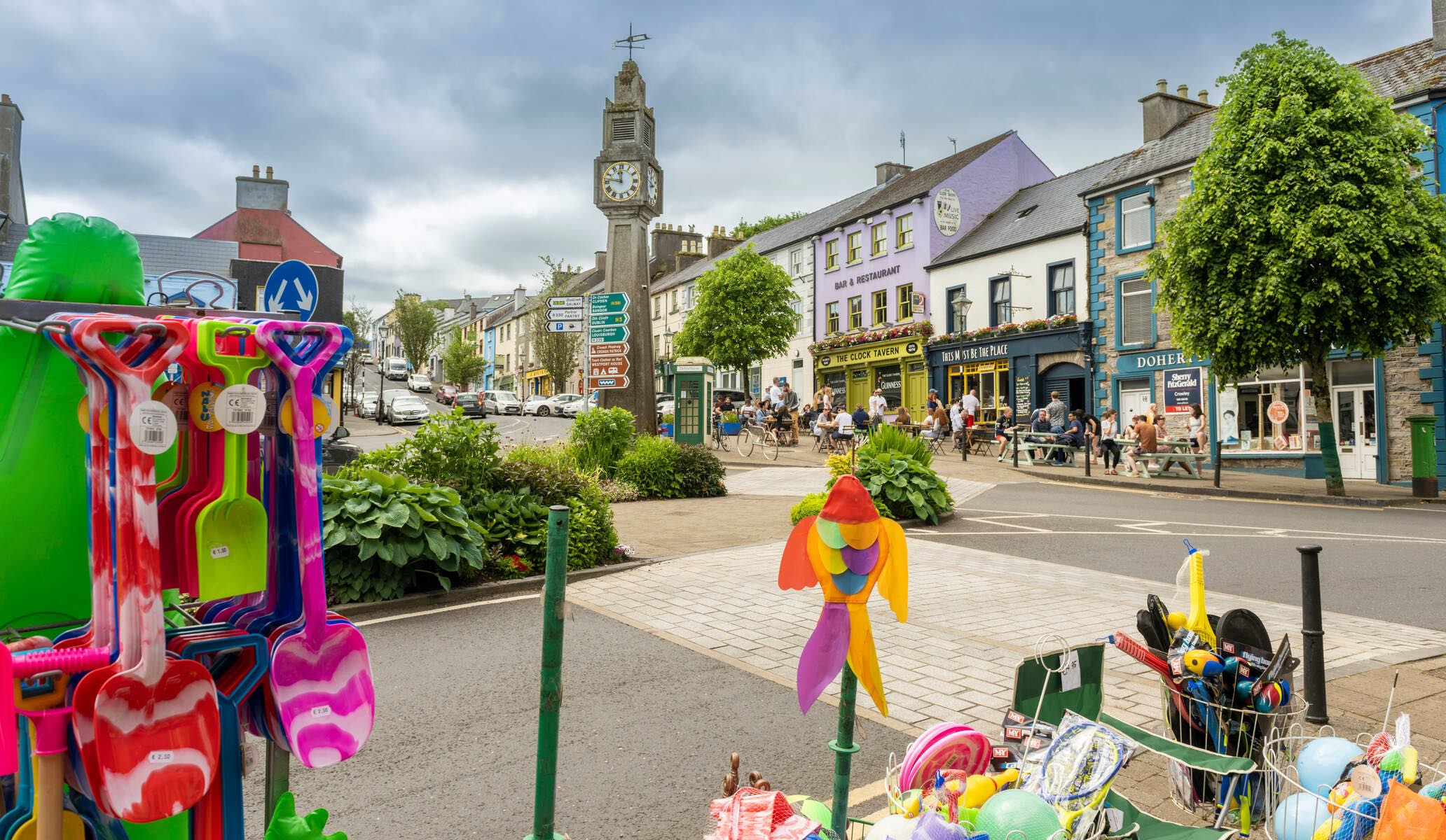 RathmweelFairy fort / earthen ringfort · 596 yd
 RathnaathenonFairy fort / earthen ringfort · 658 yd
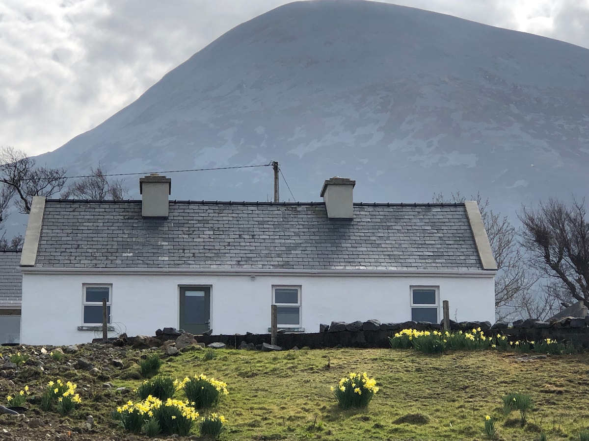 TempleancloghanChurch · 696 yd
 Saint Teresa's Catholic Churchchurch/chapel · 1427 yd
 Cloghans CastleCastle, tower house · 1694 yd
 Gull IslandIslet · 1.3 mi
 Castle Kelly (in Ruins)Castle, motte · 2.3 mi
 Roe IslandIslet · 2.9 mi
 Battle of Ballinabattle · 3.7 miHumbert MonumentMemorial · 3.9 mi
 The Marshall Doran CollectionGallery · 5.1 mi
 Belleek WoodsWood · 5.2 mi