What is recorded here
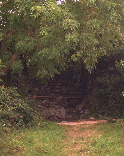
In a lowlying position within Newpark Wood. Listed as ‘Enclosure possible’ in the SMR (1992) and the RMP (1996). Indicated as a circular feature with a solid line on the 1921 OS 6-inch map. A circular enclosure (int. diam. 18.7m N-S) defined by a double-faced drystone wall (Wth 0.9-1.2m; H 0.7-0.9m). The wall has collapsed in places. There are mature deciduous trees within the enclosure as well as dense overgrowth. This and a similar feature (CL033-088----) c. 60m to the N are likely to have been decorative landscape features associated with the Newpark estate. Newpark house is c. 165m to the SE.
Compiled by: Mary Tunney
Date of upload: 12 July 2016
The monument record does not grant public access. Check the route and ask the landowner before entering private land.
- What survives
- Recorded monument
Places near here
 IndicatedFairy fort / earthen ringfort · 310 yd
 O'Brien's Castlecastle/fortified house · 533 yd
 Enclosure in KnockaderryEnclosure · 958 yd
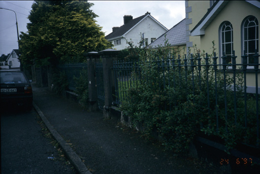 Westerlygates/railings/walls · 1366 yd
 Ennis AbbeyMuseum · 1.1 mi
 Clare MuseumMuseum · 1.1 mi
 CastleCastle, tower house · 1.3 mi
 Post Office FieldNature reserve · 1.3 mi
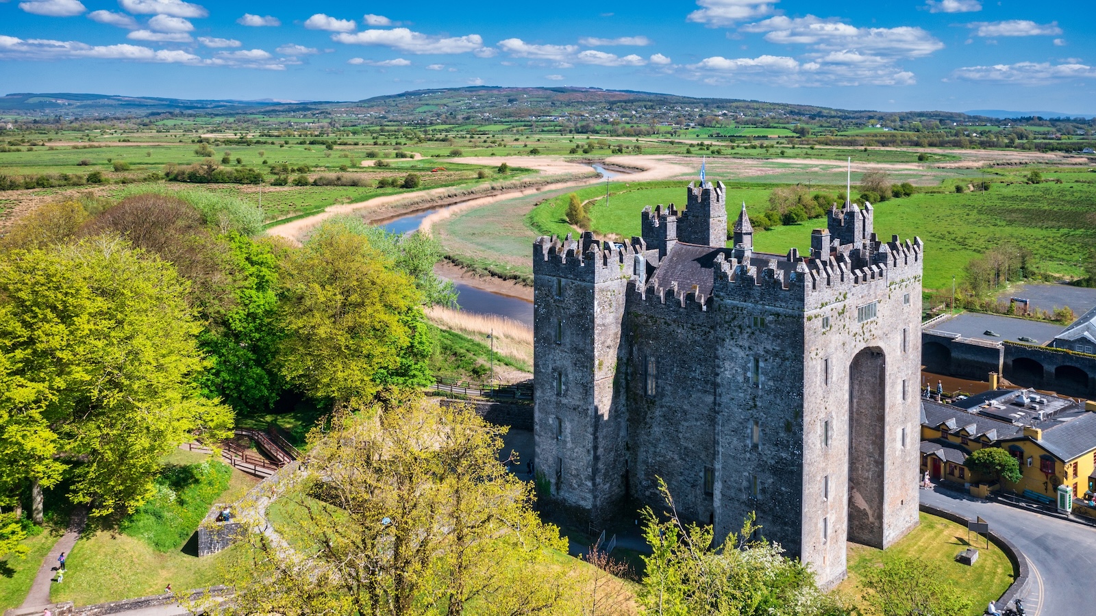 Castletown Castle (in Ruins)Castle, tower house · 2.1 mi
 Kilcatherine GraveyardWood · 2.5 mi
 G.A.A. Commemorative StoneMemorial · 2.7 mi
 Irish Famine MemorialMemorial · 2.8 mi