What is recorded here
Situated on a slight rise, the northern part of which has been quarried. Depicted on the Longford Estate map of 1813 as an earthwork. Depicted on the revised 1913 ed. OS 25-inch map as an irregular-shaped depression marked ‘Gravel Pit (disused)’. Levelled monument described in 1971 as no surface remains visible. Possibly earthwork which was quarried away as depicted on the 1837 ed. OS 6-inch map.
Compiled by Alison McQueen, Vera Rahilly and Caimin O’Brien.
Date of upload: 04 November 2019
The monument record does not grant public access. Check the route and ask the landowner before entering private land.
- What survives
- Recorded monument
Places near here
 sluice/sluice gatesluice/sluice gate · 150 yd
 bridgebridge · 175 yd
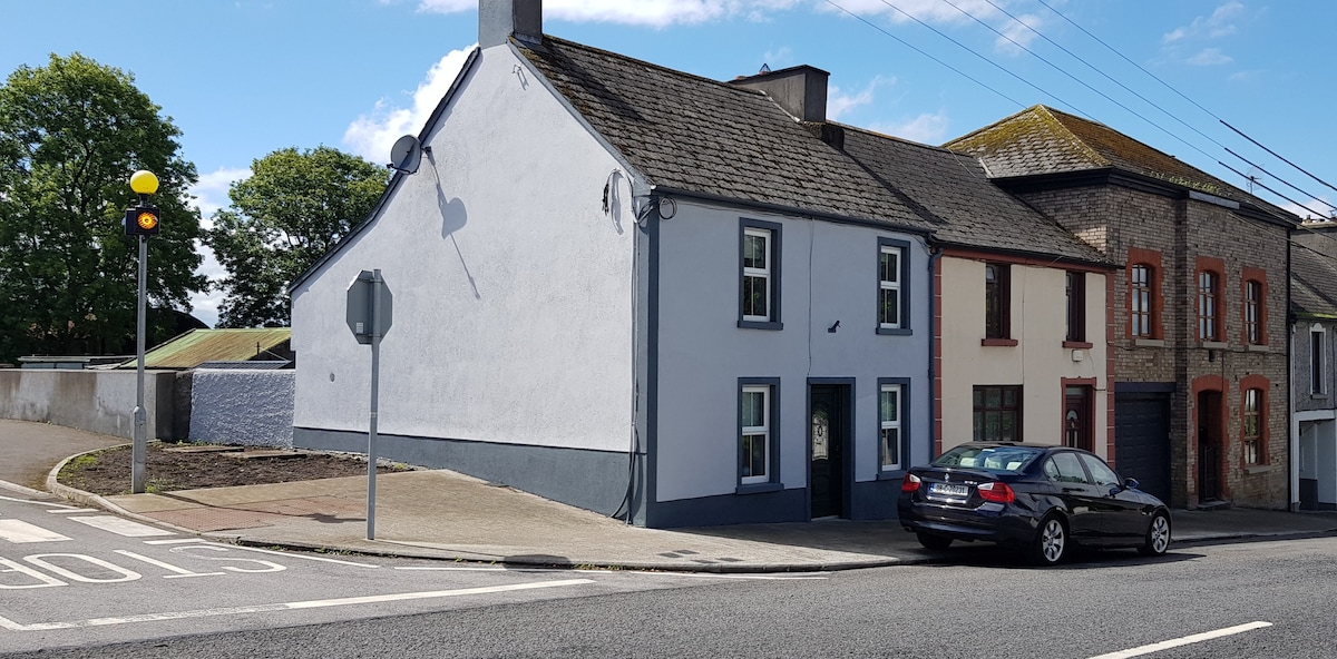 Partially hachuredFairy fort / earthen ringfort · 1742 yd
 Heathstown CastleCastle, tower house · 1750 yd
 Enclosure in NewdownEnclosure · 1.1 mi
 CastleCastle, unclassified · 1.3 mi
 ScregganWood · 8.4 mi
 Abandoned Kinnegad CanalWood · 8.9 mi
 Croppies' GraveMemorial · 9.8 mi
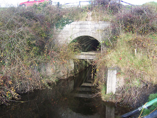 aqueductaqueduct · 592 yd
 Woodfordhouse · 1109 yd
 level crossinglevel crossing · 1.1 mi