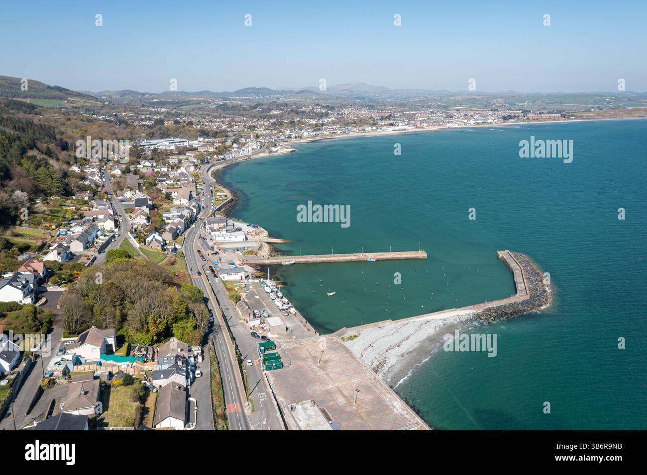
What is recorded here
In pasture, crowning the top of a knoll, with good views of undulating pasture and flat bog.
Raised circular area (c. 21.5m N–S) defined by a stony scarp (H 0.55m at SE, 1.2m at N–W), which retains a slightly raised internal lip (Wth 1.6m) in parts. The scarp is low and eroded for much of the circuit, especially on the E arc. A gap (Wth c. 2m) at SE may be an original entrance, but is now eroded by farm stock.
The interior surface is strewn with stones. There is an oval pit (1.5m NNW–SSE; 1.1m ENE–WSW; D 0.8m), with a small stony mound beside it, in the centre of the interior.
Hawthorn, blackthorn and brambles densely ring the rath perimeter and have encroached on the interior.
Compiled by: Jane O’Shaughnessy
Date of upload: 2 July 2021
The monument record does not grant public access. Check the route and ask the landowner before entering private land.
- What survives
- Recorded monument
Places near here
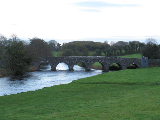 Scarrownageeragh Bridgebridge · 1459 yd
 Round TowerRound tower · 1517 yd
 Saint Luke's Catholic Churchchurch/chapel · 1580 yd
 Enclosure in Clooneen (gallen By.)Enclosure · 1.1 mi
 Castle in ruinsCastle, tower house · 1.9 mi
 Shonagawna Castle in RuinsCastle, unclassified · 2.1 mi
 Thorn CaveCave · 3.2 mi
 Michael DavittMemorial · 3.6 mi
 Youth Memorial GardenMemorial · 3.7 mi
 Brabazon WoodsForest · 4.0 mi
 Hennigan's Heritage CentreHeritage attraction · 4.0 mi
 HawthornHawthorn · 4.2 mi
Other information
Photo: Credit not shown in the picture search · Rights wording not checked; contact us if this picture should be removed