
What is recorded here
In pasture, located on a rise on a roughly E–W ridge, with good views along the valley of the the Gweestion River and of the surrounding undulating landscape. A possible fording point of the river is c. 100m to SW.
A circular enclosure (diam. 25-30m) is shown on 1838 OS 6-inch map; it is not shown on later map editions. The enclosure appears to have utilised a natural rise or projection on the ridge. Traces of a stony scarp (H 1.1m at SE, 2.6m at SW) survive SE–SW in a shallow arc (L 33m E–W), enhanced by the steep natural slope. A portion of the scarp has a slightly raised lip (Wth c. 2m; int. H 0.15m) at its outer edge, which may preserve the S arc the enclosure. A field fence, which traverses the ridge top on an E–W axis, lies c. 7m to N of the curving scarp. No trace of the enclosure is visible to N of the fence.
Compiled by: Jane O’Shaughnessy
Date of upload: 2 July 2021
The monument record does not grant public access. Check the route and ask the landowner before entering private land.
- What survives
- Recorded monument
Places near here
 Enclosure in Clooneen (gallen By.)Enclosure · 1316 yd
 Round TowerRound tower · 1329 yd
 Tullyroe Bridgebridge · 1539 yd
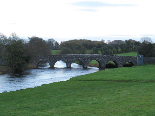 Scarrownageeragh Bridgebridge · 1665 yd
 Castle in ruinsCastle, tower house · 1.8 mi
 Shonagawna Castle in RuinsCastle, unclassified · 2.4 mi
 Thorn CaveCave · 2.9 mi
 Michael DavittMemorial · 3.7 mi
 Youth Memorial GardenMemorial · 3.8 mi
 Brabazon WoodsForest · 4.1 mi
 Hennigan's Heritage CentreHeritage attraction · 4.3 mi
 HawthornHawthorn · 4.5 mi
Other information
Photo: Credit not shown in the picture search · Rights wording not checked; contact us if this picture should be removed