
What is recorded here
Indicated is a D-shaped enclosure in County Kildare, Ireland, with a straight west side, broad bank and wide outer fosse. It was annotated Molly Dillon’s Rath on a copy of the OS 6-inch map, yet by 1972 it had been levelled into a slight depression. Aerial photography still suggests its shape and a possible associated field system, keeping the lost boundary visible in grass and shadow.
Shown on the OS 25-inch map as a D-shaped area (est. diam. c. 45m E-W) with a straight W side (est. L c. 44m N-S) enclosed by a broad bank (est. Wth c. 8m) and a wide outer fosse (est. Wth c. 7m). The monument is annotated ‘Molly Dillon’s Rath’ on a copy of the OS 6-inch map by Fitzgerald (1912-14c, 263). Upon inspection in 1972, the monument was found to have been levelled, a slight depression marking where it once stood (SMR file). The monument is visible as a cropmark on one of Dr. Gillian Barrett’s aerial photos (GB89.AF.36) which also shows the cropmark of a possible associated field system (KD032-042001-).
Compiled by: Gearóid Conroy
Date of upload: 07 November 2013
The monument record does not grant public access. Check the route and ask the landowner before entering private land.
- What survives
- Recorded monument
Places near here
 Enclosure in Narraghmore DemesneEnclosure · 91 yd
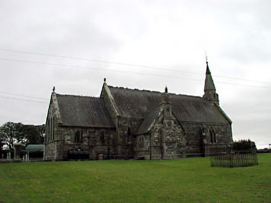 Church of the Holy Saviour (Narraghmore)church/chapel · 914 yd
 Narraghmore WoodWood · 914 yd
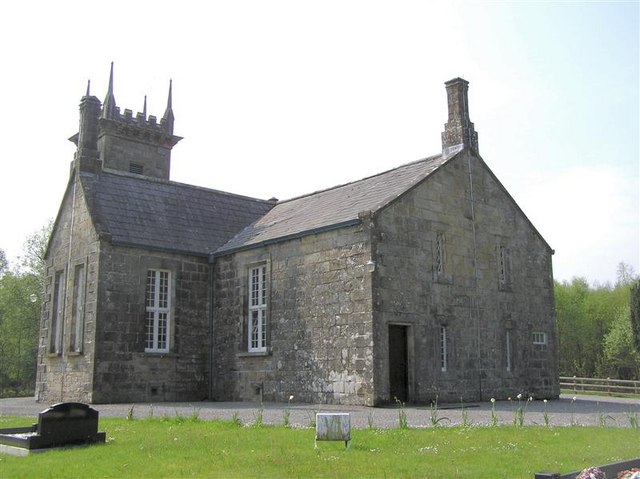 Church in Narraghmore DemesneChurch · 925 yd
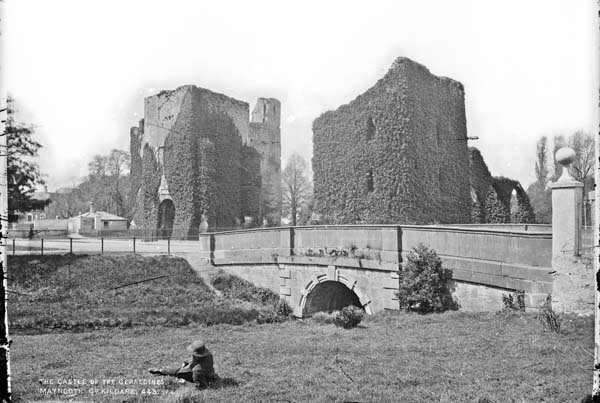 Enclosure in BattlemountEnclosure · 1067 yd
 CrookanurnWood · 1194 yd
 Blackhall CastleCastle, tower house · 2.4 mi
 CastleCastle, unclassified · 2.6 mi
 Battle of Kilrushbattle · 2.6 mi
 Burtown House and GardensHeritage attraction · 3.0 mi
 Gorden Bennet Race memorialMemorial · 3.7 mi
 History of Moat of ArdscullVisitor information · 3.7 mi
Other information
Photo: Credit not shown in the picture search · Rights wording not checked; contact us if this picture should be removed