
What is recorded here
Aerial photograph (GB89.AF.36) shows cropmark of a small circular enclosure defined by a fosse. The photo also shows the cropmarks of a nearby larger enclosure (KD032-042----) and associated fieldsystem (KD032-042001-).
Compiled by: Gillian Barrett
Date of upload: 12 December 2011
A local fairy fort (ringfort/rath); wider significance not recorded.
The monument record does not grant public access. Check the route and ask the landowner before entering private land.
- What survives
- Recorded monument
Places near here
 IndicatedEnclosure · 91 yd
 Narraghmore WoodWood · 823 yd
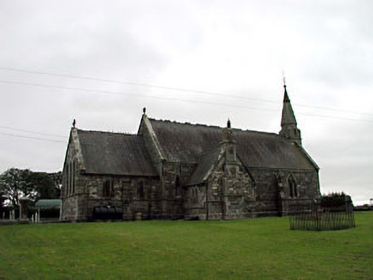 Church of the Holy Saviour (Narraghmore)church/chapel · 831 yd
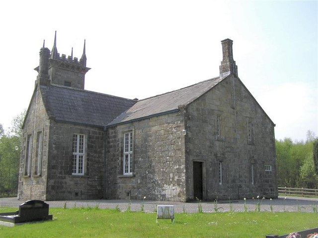 Church in Narraghmore DemesneChurch · 842 yd
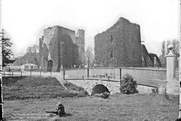 Enclosure in BattlemountEnclosure · 1051 yd
 CrookanurnWood · 1285 yd
 Blackhall CastleCastle, tower house · 2.4 mi
 CastleCastle, unclassified · 2.6 mi
 Battle of Kilrushbattle · 2.6 mi
 Burtown House and GardensHeritage attraction · 3.0 mi
 Gorden Bennet Race memorialMemorial · 3.6 mi
 History of Moat of ArdscullVisitor information · 3.6 mi
Other information
Photo: Credit not shown in the picture search · Rights wording not checked; contact us if this picture should be removed