What is recorded here
Indicated is a faded fairy fort in County Kerry, reduced from a thirty-five metre enclosure to an eighteen metre circle after centuries of pasture and forgetting. The 1846 map still shows a limekiln sitting on its north-west bank, suggesting people burned stone beside the old boundary long after the fort stopped being a home. The earth has not vanished, but it has become so thin and quiet that the field itself seems to have swallowed the shape. What remains is a low ridge in grass, visible only when the light lies flat and the boundary stops being a fact and becomes a feeling.
In pasture, on level ground in the corner of a field. A circular area (diam. c. 18m) defined by a low rise (Wth 4m; int. H 0.1m; ext. H 0.5m). Faint traces of an intervening fosse and an outer bank are visible WSW-NW. The rath is indicated on the 1846 OS 6-inch map as a circular enclosure (diam. c. 35m) with a limekiln on the bank at NW. This is probably the rath which was recorded as 'middle Nantenane fort' in the 1840s (OSNB, Killorglin, no. 1, 5).
Compiled by: Elizabeth Byrne, Ursula Egan and Sheila Ronan, Archaeological Survey Unit, University College, Cork.
Date of upload: 31 January 2011
The monument record does not grant public access. Check the route and ask the landowner before entering private land.
- What survives
- Recorded monument
Places near here
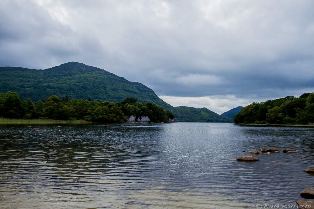 Man-made underground passage in Coolroe NorthMan-made underground passage · 1082 yd
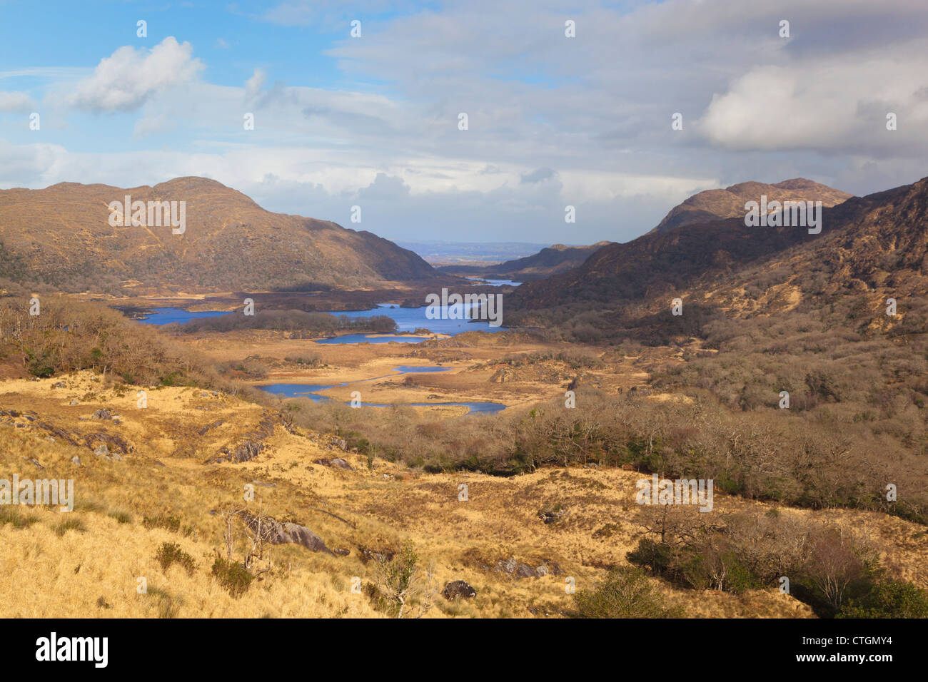 IndicatedKiln, lime · 1307 yd
 Parkalassa FortFairy fort / earthen ringfort · 1697 yd
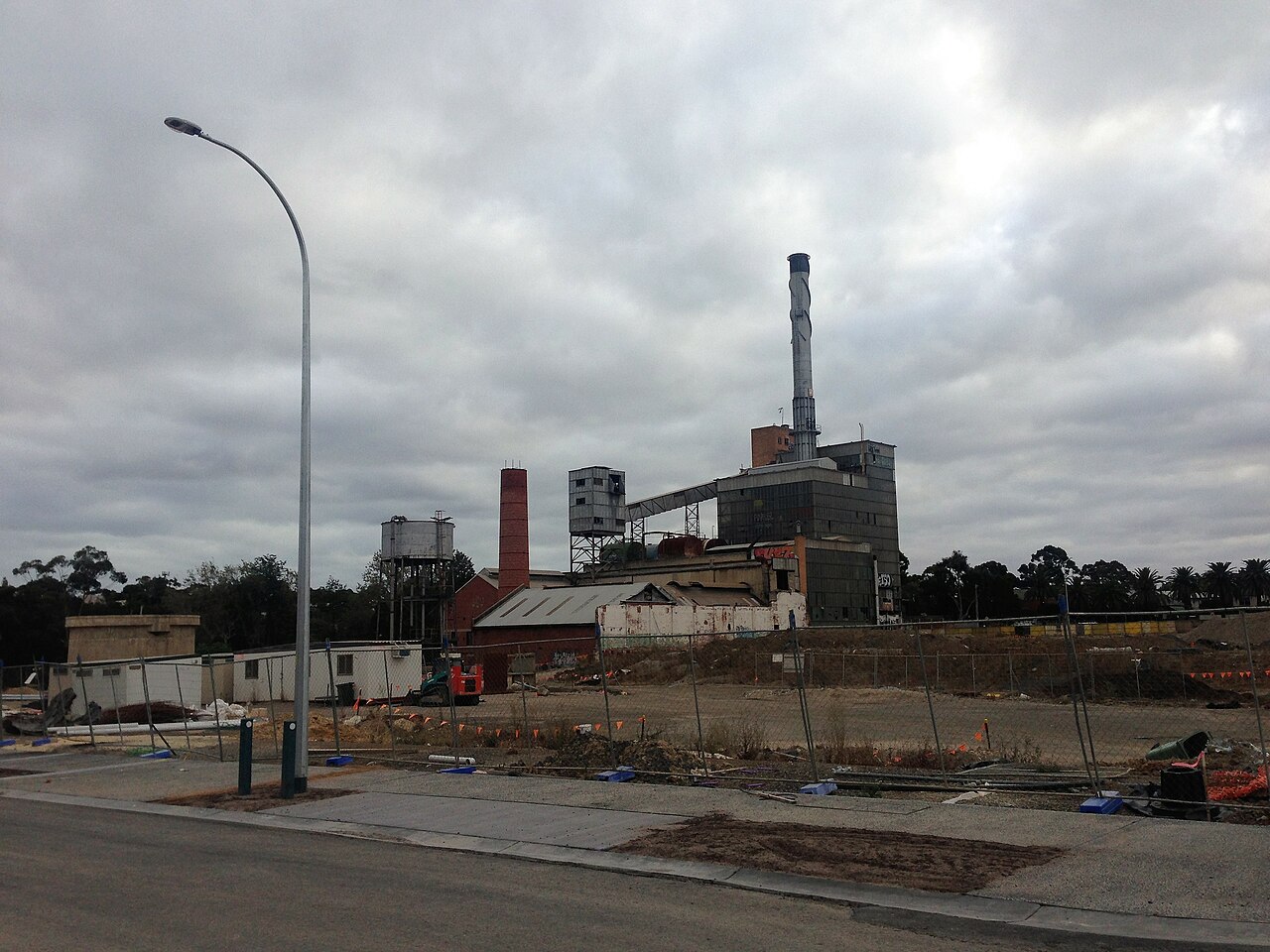 Paper MillMill, paper · 1.2 mi
 The Kerry Creamery ExperienceHeritage attraction · 1.4 mi
 Ballymalis Castle (in ruins)Castle, tower house · 2.2 mi
 Ballymalis CastleCastle · 2.2 mi
 Clash IslandIslet · 2.8 mi
 Cloon IslandIsland · 3.1 mi
 King Puck statueMemorial · 3.5 mi
 Dunloe Ogham StonesHeritage attraction · 4.8 mi
 Japanese pagoda treeJapanese pagoda tree · 4.8 mi