What is recorded here
On level karst pavement c. 750m E of the seashore. A possible oval enclosure (c. 44m N-S; 35m E-W) indicated on the 1812 ed. of the OS 6-inch map and visible on Digital Globe. A fulacht fia (CL001-005----) is 50m to the SW. This enclosure was reported to the National Monuments Service by Ros Ó Maolduin.
Compiled by: Mary Tunney
Date of upload: 14 September 2020
The monument record does not grant public access. Check the route and ask the landowner before entering private land.
- What survives
- Recorded monument
Places near here
 CaherdoonteigushaFairy fort / stone ringfort · 472 yd
 Fanore Bridgebridge · 1314 yd
 garda station/constabulary barracksgarda station/constabulary barracks · 1325 yd
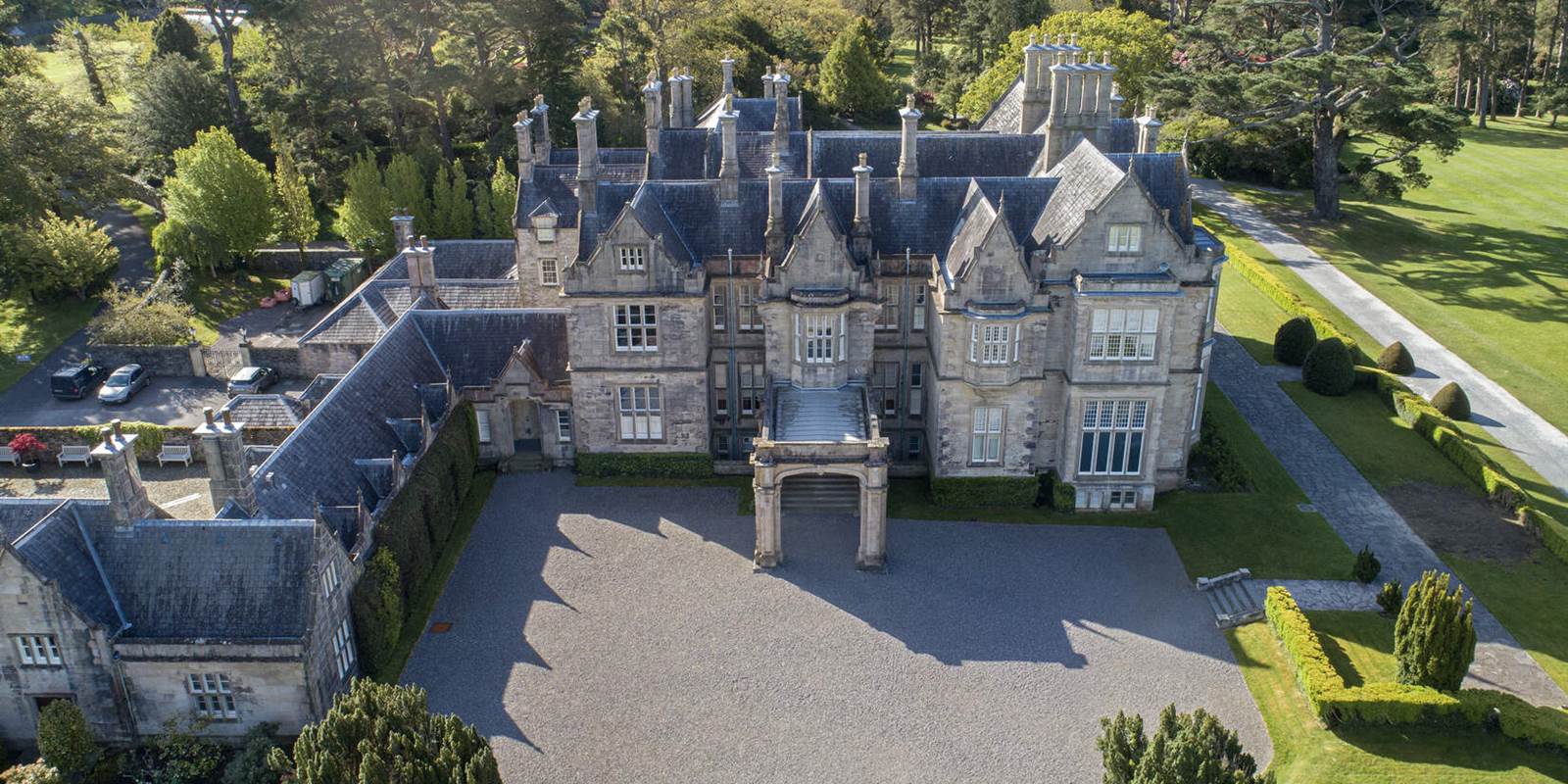 Enclosure in MurrooghkillyEnclosure · 1430 yd
 Fanore BeachBeach / strand · 1.2 mi
 Black HeadHeadland · 1.4 mi
 Gleninagh CastleCastle · 2.9 mi
 Faunarooska Castle (in ruins)Castle, tower house · 3.0 mi
 CappanawallaMountain / peak · 3.4 mi
 FaunarooskaCave · 3.5 mi
 Slieve ElvaMountain / peak · 3.6 mi
 PollbailinyCave · 3.6 mi