What is recorded here
Situated just off the crest of the SE-facing slope of a drumlin. This is a raised circular grass-covered area (diam. 34m N-S; 32m E-W) defined by an earthen bank or scarp and hedge with some trees, but there is no evidence of a fosse. A modern gate at SW leading to a farmyard is the only entrance.
The above description is derived from the published 'Archaeological Inventory of County Monaghan' (Dublin: Stationery Office, 1986). In certain instances the entries have been revised and updated in the light of recent research.
Date of revision: 29 August 2017
The monument record does not grant public access. Check the route and ask the landowner before entering private land.
- What survives
- Recorded monument
Places near here
 Church (in ruins)Church · 885 yd
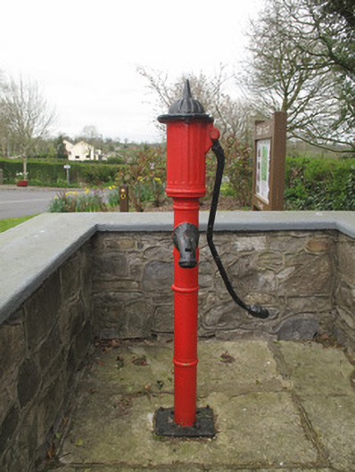 water pumpwater pump · 891 yd
 Grave YardGraveyard · 896 yd
 IndicatedFairy fort / earthen ringfort · 1523 yd
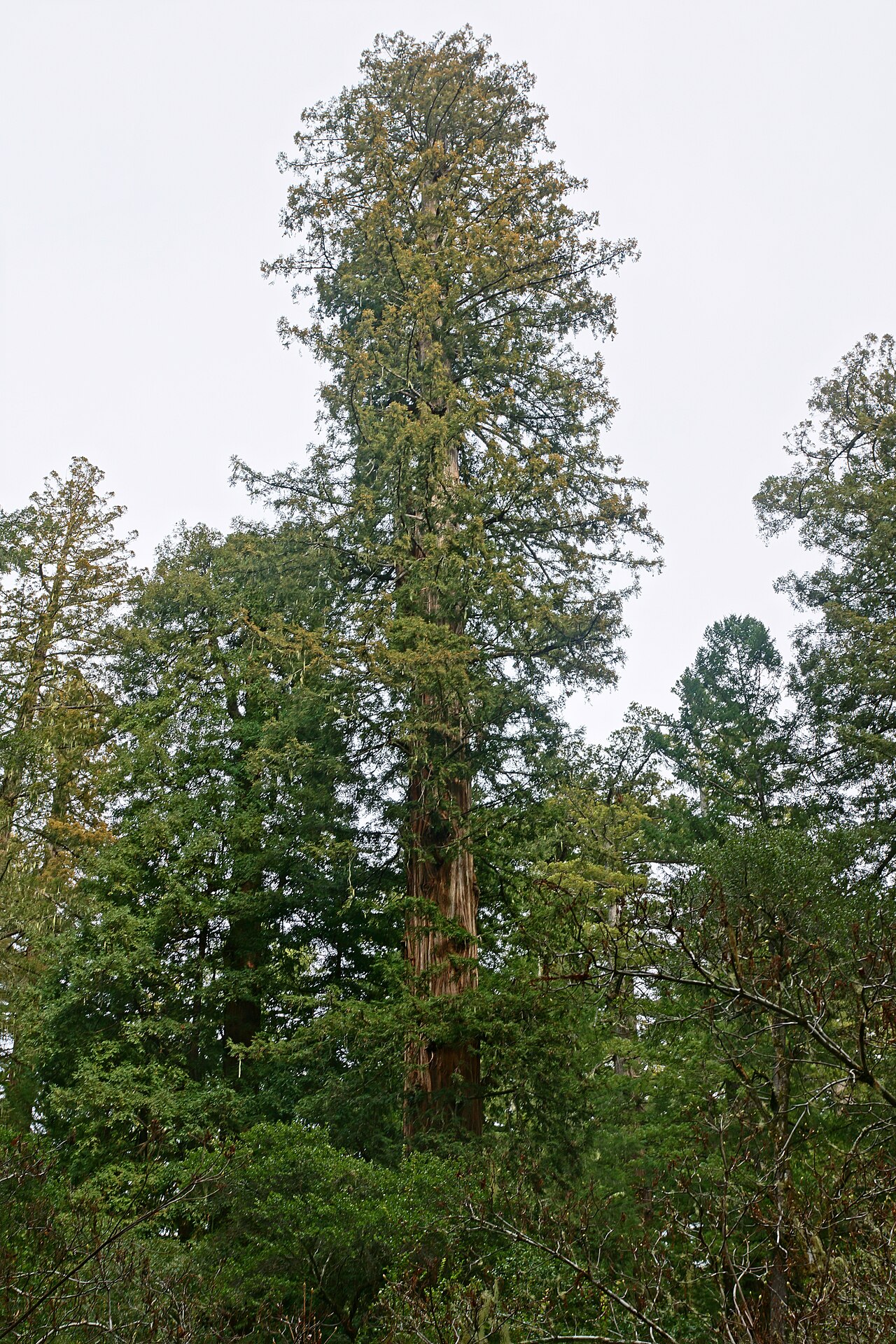 Coast RedwoodCoast Redwood · 1.6 mi
 Western RedcedarWestern Redcedar · 1.6 mi
 Monaghan County MuseumMuseum · 3.2 mi
 Rossmore MonumentMemorial · 3.3 mi
 Bawn in Roosky (monaghan By., Monaghan Par.)Bawn · 3.4 mi
 Rough HillMountain / peak · 4.0 mi
 Banba GiantHeritage attraction · 4.0 mi
 Sliabh Beagh Hotel and Tourism CentreVisitor information · 5.0 mi