What is recorded here
Indicated is a large fairy fort hidden inside hazel and hawthorn above the Owenrevagh River in County Mayo. Its outer bank still carries traces of stone facing and later field fencing, while the inner ground rises slightly, as if the fort claimed a natural hill rather than digging one. People may have lived behind those banks before the trees closed over the gaps, but now the fort works like a trap for memory: enter through the brush and leave with the valley still turning in your mind.
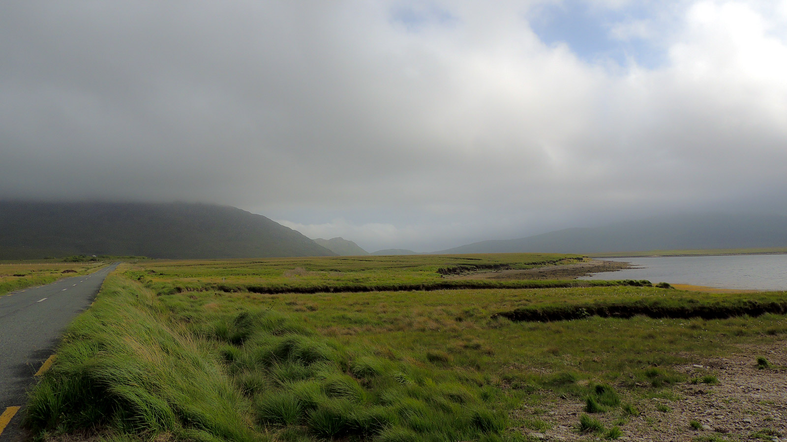
In a stand of hazel and hawthorn, overlooking the valley of the Owenrevagh River. It is located at the top of an E-facing slope, where ground falls away abruptly before gradually levelling out toward the river bank, 75m to E. The E boundary of the townland coincides with the course of the river. Ballymore Lough, the source of the river, is c. 500m to E
This large rath is difficult to record due the dense growth of hazel and hawthorn throughout. It appears to have been bivallate, with the outer bank adapted to serve as a field fence.
It consists of a slightly raised oval area (32.2m NW−SE; 36m NE−SW) define by a scarp at ENE−WSW; elsewhere the scarp is barely discernible. At ESE−S the scarp (H 3.35m, Wth slope 6m at SE) coincides with, and is enhanced by the steep natural fall of ground. A gap intervenes between the rath scarp and a substantial external bank which arcs around the rath at S−NE. The gap and the bank are likely to represent remnant of an original fosse and external bank, however, there is clear evidence of modification in the modern era. The intervening gap/possible fosse varies in width between 3.5-4.8m at different points around the circuit. The external bank also varies in size and form: it is most substantial on the SW arc (Wth 5.6; int. H 0.8m), where it retains traces of stone facing, and a later field fence merges with its external slope; at W−N it is less substantial (Wth 3m; int. H 0.95; ext. H 0.6-0.7m) and has drystone walling, now largely tumbled, on its inner face, indicating that it was built or modified to serve as a field fence; at N−NNE it expands to 5-6m in width.
The central part of the rath interior is higher, consisting of a fairly level raised area (c. 14n NW−SE; 17n NE−SW), from where there is a gently slope outwards to the perimeter scarp. It seems likely that this is because the rath utilises or encompasses a natural rise. The interior surface is strewn with boulders, large stones and several heaps of small stones.
Compiled by: Jane O’Shaughnessy
Date of upload: 10 June 2020
The monument record does not grant public access. Check the route and ask the landowner before entering private land.
- What survives
- Recorded monument
Places near here
 IndicatedEnclosure · 401 yd
 Enclosure in MullaghawnyEnclosure · 659 yd
 farm housefarm house · 1320 yd
 Catholic Church of the Immaculate Conception and Saint Josephchurch/chapel · 1642 yd
 Castle (in ruins)Castle, unclassified · 2.7 mi
 Gull IslandIslet · 3.2 mi
 CastleCastle, unclassified · 4.2 mi
 Humbert MonumentMemorial · 4.6 miBattle of Ballinabattle · 4.9 mi
 Drummin ForestForest · 5.1 mi
 Lough CullinViewpoint · 5.5 mi
 Cliff IslandIslet · 5.9 mi