What is recorded here
Indicated is a hidden stone ringfort in County Cavan, absent from the earliest maps but visible as a raised circular area enclosed by a low drystone wall. Its original entrance has vanished, and a semicircular projection now breaks the cashel wall, suggesting the site changed before people stopped remembering it. The stones do not declare a date or a owner; they preserve a shape that resistance, reuse and forgetting could not fully erase.
Not marked on OS 1836 or 1876 eds. Raised circular area (int. dims. c. 25m N-S; 23.4m E-W) enclosed by a low drystone wall (Wth 3.6m). Original entrance not recognisable. On the OS 1911 ed. a field boundary is shown skirting the site from NE-E-SE. This has been removed. However, there is a semicircular enclosure projecting from the cashel wall between these points. The structure of its enclosing wall is similar to that of the cashel.
The above description is derived from the published 'Archaeological Inventory of County Cavan' (Dublin: Stationery Office, 1995). In certain instances the entries have been revised and updated in the light of recent research.
Date of upload/revision: 22 December 2008
This remains an important historical record, but the official description says the monument is no longer visible or has been destroyed. The monument record does not grant public access. Check the route and ask the landowner before entering private land.
- What survives
- No visible remains or recorded as destroyed
Places near here
 Enclosure in MullaghahyEnclosure · 425 yd
 IndicatedFairy fort / earthen ringfort · 524 yd
 Giant's GraveArchaeological place · 813 yd
 Saint Patrick's Catholic Churchchurch/chapel · 903 yd
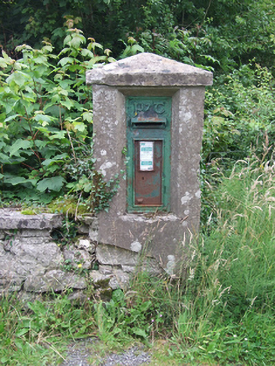 post boxpost box · 1003 yd
 Tuam IslandIslet · 1643 yd
 Kilrooscagh IslandIslet · 1.1 mi
 Port IslandCastle, Anglo-Norman masonry castle · 1.2 mi
 BarranMountain / peak · 1.5 mi
 Lough MacNean WalkWalking route · 1.9 mi
 CorrevanMountain / peak · 2.0 mi
 Teampull RuisínHeritage attraction · 2.1 mi