What is recorded here
In gentle rolling grassland. Depicted on the 1st (1839) ed. OS 6-inch map as a small rectangular field (dims. c. 27m roughly N-S; c. 20m roughly E-W) bounded along the E and S side by a stream flowing NE-SW. On the 6-inch 1900 revision the W side is not depicted and the E and S sides are no longer at right angles, but are depicted by a curving field boundary. The N side has remained the same, incorporated in a field boundary which extends westward. The field has been reclaimed and the enclosure is not visible at ground level, though the N field boundary and the kink in the E-SE field boundary remain.
Compiled by: Jean Farrelly
Date of upload: 1 February 2019
A local fairy fort (ringfort/rath); wider significance not recorded.
The monument record does not grant public access. Check the route and ask the landowner before entering private land.
- What survives
- Recorded monument
Places near here
 Clogharinka MotteArchaeological place · 981 yd
 Clogharinka Castle (in ruins)Castle, unclassified · 985 yd
 Saint Brendan's Catholic Churchchurch/chapel · 1002 yd
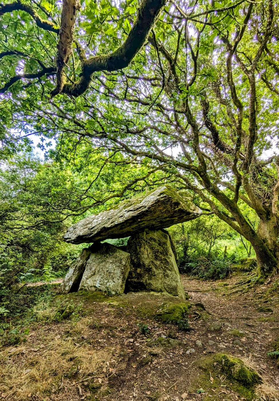 Enclosure in Gaulstown (fassadinin By.)Enclosure · 1072 yd
 Rockbrook Corn Millmill (water) · 1.0 mi
 Edward BurkeMemorial · 1.8 mi
 Uskerty WoodForest · 2.0 mi
 Rockafoil WoodWood · 2.2 mi
 Ballyfoyle Castle (in ruins)Castle, tower house · 2.9 mi
 Cave of DunmoreCave · 2.9 mi
 Dunmore CavesCave · 2.9 mi
 Mohil GraveyardArchaeological place · 3.2 mi
Other information
Photo: Credit not shown in the picture search · Rights wording not checked; contact us if this picture should be removed