What is recorded here
Situated on the S slopes of Mountpelier. Named 'fort' on the 1843 OS 6-inch map and shown on the 1937 ed. as a subcircular enclosure (est. diam. c. 26m). The site has been planted with trees and incorporated into Killakee Woods (Healy 1961, 124).
Compiled by: Geraldine Stout and Padraig Clancy
Revised upload on: 8 July 2018
The monument record does not grant public access. Check the route and ask the landowner before entering private land.
- What survives
- Recorded monument
Places near here
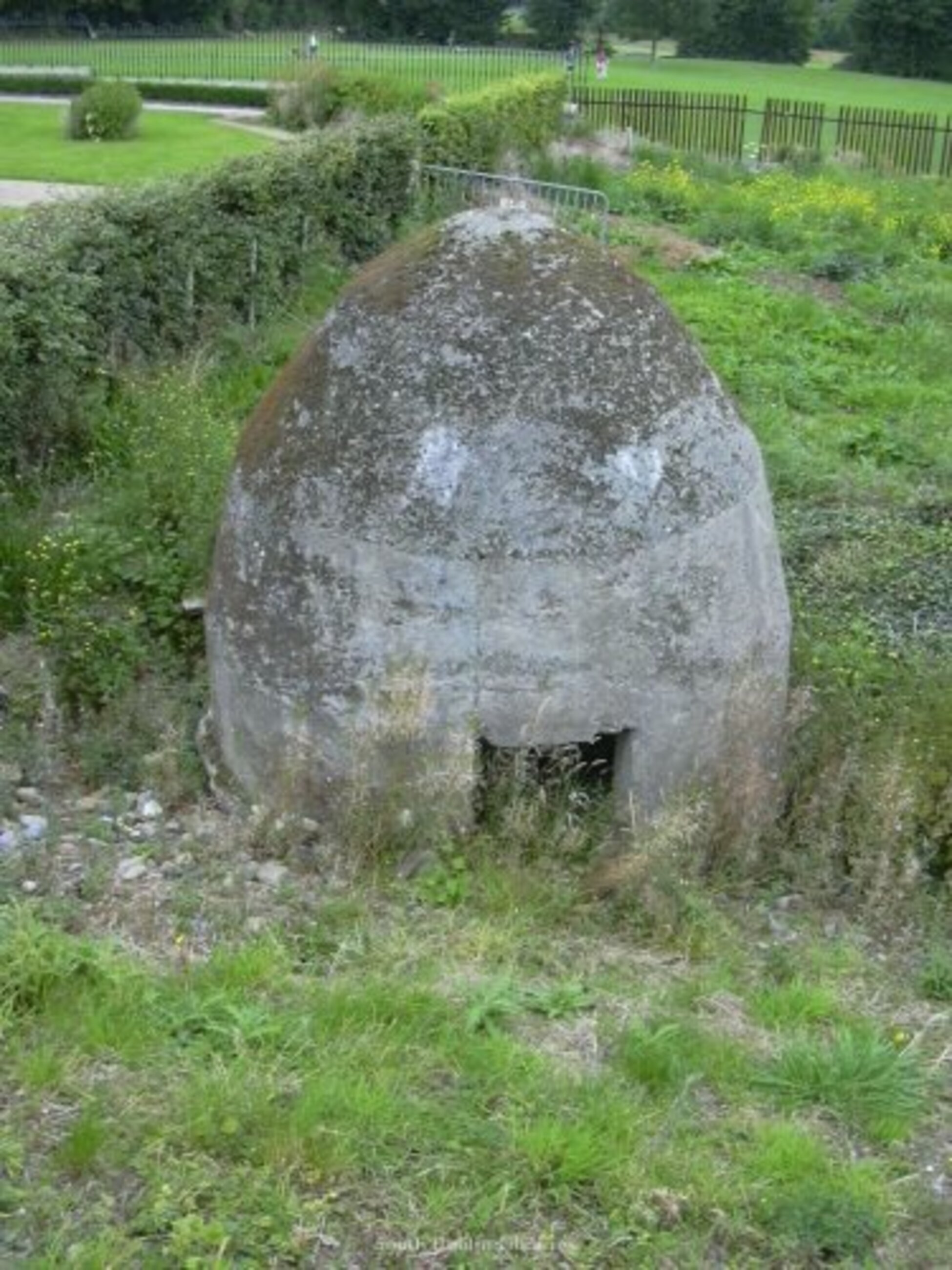 Enclosure in MountpelierEnclosure · 1 yd
 Dublin Mountains Way - Hellfire & Massey spurWalking route · 97 yd
 Dublin Mountains Way Hellfire & Massey SpurWalking route · 187 yd
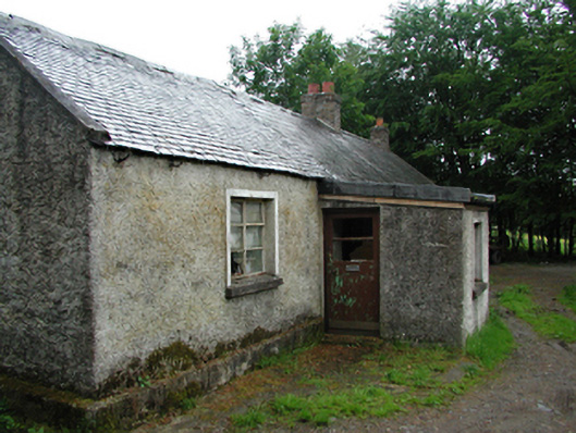 farmyard complexfarmyard complex · 611 yd
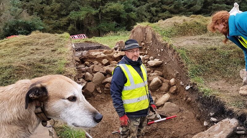 Passage tomb in MontpelierPassage tomb · 707 yd
 Montpelier HillMountain / peak · 720 yd
 Hell Fire Clubhunting/fishing lodge · 737 yd
 Hellfire WoodForest · 884 yd
 Featherbed ForestForest · 988 yd
 SpinkeenMountain / peak · 1425 yd
 Carty's CastleRuins · 1681 yd
 Saint Ann's WellSpring · 1.3 mi