What is recorded here
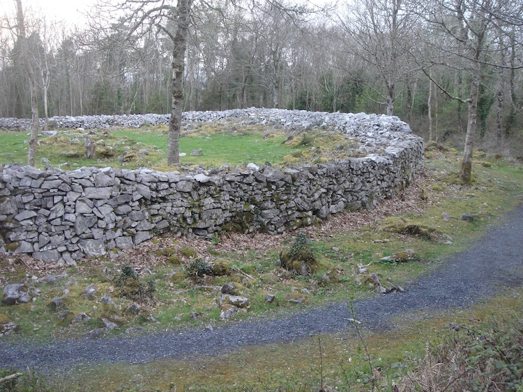
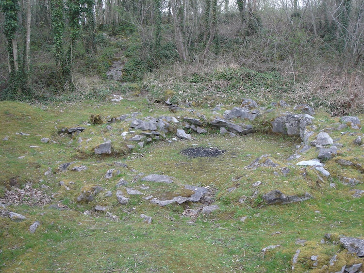
Situated on a slight NW-facing slope c. 10m N of a gap in the NW portion of the middle rampart of Mooghaun hillfort (CL042-074001-). A subcircular area (ext. dims. 11.5m N-S; 14.5m E-W; int. dims. 7.3m N-S; 8.7m E-W) defined by a low stony bank (av. Wth 2.4m) best preserved at S and SW (H 0.4m). Except at NW the interior is lower than the surrounding ground level. A cairn (CL042-074025-) is in the centre of the enclosure. Excavated in 1995 as part of the North Munster Project of the Discovery Programme. No direct evidence for the date or function of the enclosure was found but Grogan (2005, vol. 1, 127) suggests a middle to late Bronze Age date based on similarities to enclosures of that date elsewhere in the region. Two more substantial enclosures (CL042-074009- and CL042-074010-) lie c. 22m and c. 47m to the NNE and NE respectively. (Condit and Grogan 2005, 126-7; Grogan 2005, vol. 1, 190-92)
Compiled by: Mary Tunney
Date of upload: 5 January 2016
The monument record does not grant public access. Check the route and ask the landowner before entering private land.
- What survives
- Recorded monument
Places near here
 Mooghaun HillfortArchaeological place · 109 yd
 IndicatedHillfort · 140 yd
 Mooghaun WoodsWood · 364 yd
 Enclosure in Mooghaun SouthEnclosure · 384 yd
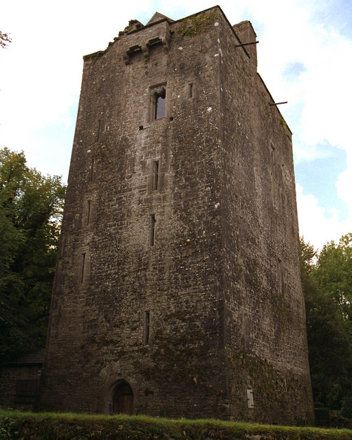 Mooghaun castleCastle · 414 yd
 Castle (in Ruins)Castle, unclassified · 1592 yd
 Glenviewrailway station · 1.5 mi
 belvederebelvedere · 1.6 mi
 HawthornHawthorn · 1.8 mi
 Quin AbbeyHeritage attraction · 2.6 mi
 G.A.A. Commemorative StoneMemorial · 4.2 mi
 Irish Famine MemorialMemorial · 4.2 mi
Other information
Photo: Credit not shown in the picture search · Rights wording not checked; contact us if this picture should be removed