What is recorded here
Indicated is a flat-topped limestone cairn on the summit of Mooghaun hillfort in County Clare, Ireland. It stands 264ft high, measures about 4.7m across at its base, and has an Ordnance Survey trigonometric pillar in its centre. The bottom course rests directly on bedrock, while limestone-slab steps at the south still give access to the top.
A cairn is located on the summit of the hill within Mooghaun hillfort at a height of 264ft (80.47m). The flat-topped cairn, roughly subcircular in plan (diam. c. 4.7m at base; c. 4.3m at top; av. H 1.2m), is constructed of flat limestone boulders. An uneven coursing of the stones is visible on the slightly battered exterior. An Ordnance Survey trigonometric pillar is sited in the centre of the top of the cairn and the present form of the cairn may be a result of rebuilding by the OS. A series of limestone-slab steps at the south give access to the summit. Around the bottom edge of the cairn at N and W there are traces of limestone rubble. Excavation in 1993 has shown that the bottom course rests directly on bedrock. (Condit and Grogan 2005, 122)
Compiled by: Mary Tunney
Date of upload: 5 January 2016
A Bronze Age cairn; located within a hillfort, it reflects early burial practices and settlement patterns in the region.
The monument record does not grant public access. Check the route and ask the landowner before entering private land.
- What survives
- Recorded monument
Places near here
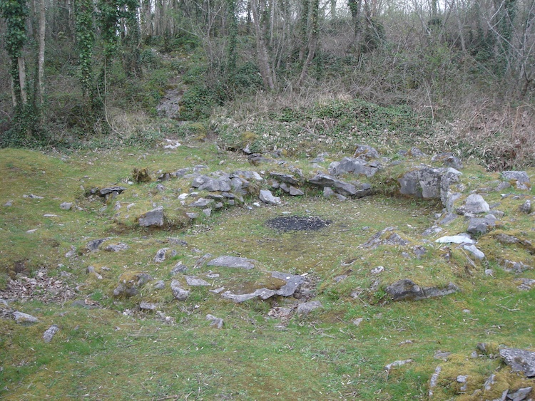 IndicatedHillfort · 18 yd
 Mooghaun HillfortArchaeological place · 50 yd
 Enclosure in Mooghaun SouthEnclosure · 258 yd
 Mooghaun WoodsWood · 407 yd
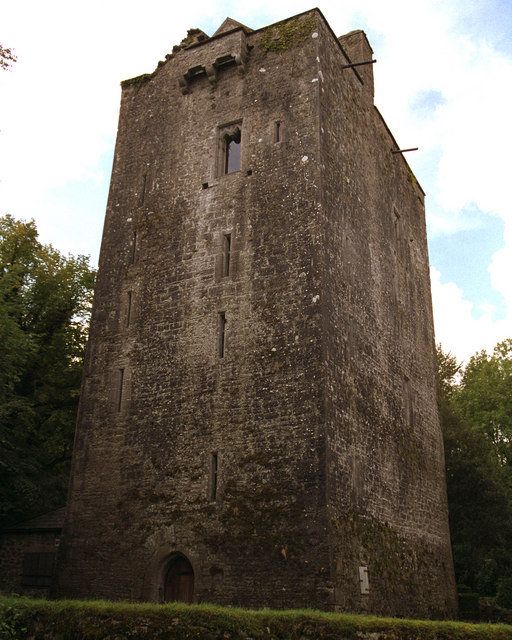 Mooghaun castleCastle · 560 yd
 Castle (in Ruins)Castle, unclassified · 1567 yd
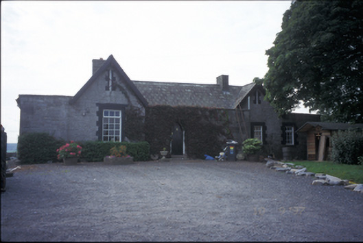 Glenviewrailway station · 1.6 mi
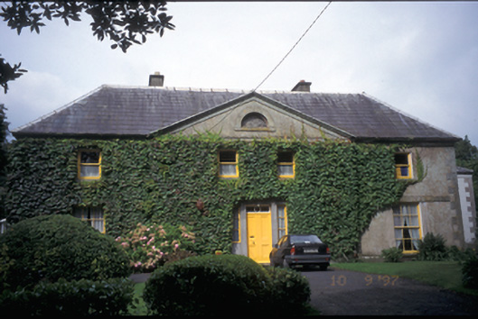 Newmarket Househouse · 1.6 mi
 HawthornHawthorn · 1.9 mi
 Quin AbbeyHeritage attraction · 2.6 mi
 G.A.A. Commemorative StoneMemorial · 4.3 mi
 Irish Famine MemorialMemorial · 4.3 mi