What is recorded here
Located in a slight hollow of a gentle E-facing slope with a W-E stream c. 60m to the S and the NW-SE River Urin in a deep valley c. 600m to the E. This is a raised rectangular, grass-covered area (dims. 40m ENE-WSW; 38m NNW-SSE) defined by a straight scarp with an external moat (Wth of top 2-3.5m; D below the interior 1.5-2m) on all sides except the N where there is a laneway.
The abpve description is derived from the published 'Archaeological Inventory of County Wexford' (Dublin: Stationery Office, 1996). In certain instances the entries have been revised and updated in the light of recent research.
Compiled by: Michael Moore
Date of upload/revision: 22 May, 2012
The monument record does not grant public access. Check the route and ask the landowner before entering private land.
- What survives
- Recorded monument
Places near here
 Killoughrum ForestForest · 917 yd
 Kiltrea Bridgebridge · 1148 yd
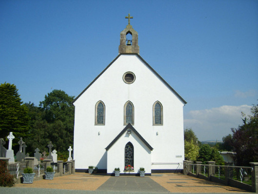 Catholic Church of Saint John the Baptistchurch/chapel · 1194 yd
 CrossCross, Churchyard cross · 1.6 mi
 IndicataedFairy fort / ringfort · 1.7 mi
 Daphney CastleCastle, unclassified · 2.6 mi
 Ruin of a small castleRuins · 3.6 mi
 Duffry GateMemorial · 3.8 mi
 U.N. Peace MemorialMonument · 3.8 mi
 Battle of Vinegar HillMajor battlefield · 3.9 mi
 Pedunculate OakPedunculate Oak · 3.9 mi
 National 1798 CentreMuseum · 4.0 mi