What is recorded here
Raised circular area (int. diam. 22.1m) enclosed by a low earthen bank and a wide, shallow fosse. The fosse has been largely infilled but its outline is nonetheless identifiable. Original entrance at NE.
The above description is derived from the published 'Archaeological Inventory of County Cavan' (Dublin: Stationery Office, 1995). In certain instances the entries have been revised and updated in the light of recent research.
Date of upload/revision: 22 December 2008
A local fairy fort (ringfort/rath); wider significance not recorded.
The monument record does not grant public access. Check the route and ask the landowner before entering private land.
- What survives
- Recorded monument
Places near here
 Sweat Ho.Sweathouse · 725 yd
 Corratober UpperMountain / peak · 1242 yd
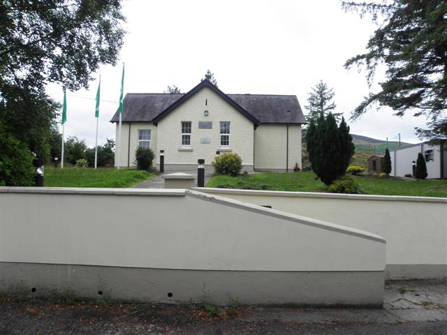 CurraghvahMountain / peak · 1.0 mi
 IndicatedFairy fort / earthen ringfort · 1.1 mi
 PlaygroudCliff · 1.3 mi
 CarrignahastaCliff · 1.9 mi
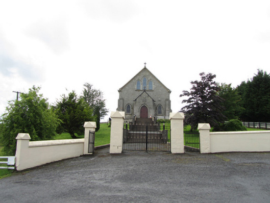 Church of the Immaculate Conceptionchurch/chapel · 2.0 mi
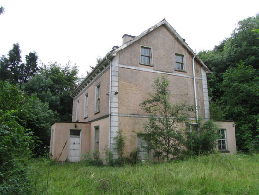 Corrard Househouse · 2.0 mi
 Corrard ForestForest · 2.1 mi
 TobermurrySpring · 2.2 mi
 Republican Garden of RemembranceMemorial · 2.5 mi
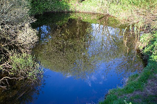 Shannon PotSpring · 3.0 mi