What is recorded here
In low-lying pastureland. This subtrapezoidal enclosure (34m E-W; 25.5m N-S), in fair condition, is defined by a bank which is revetted with stone both internally and externally. The bank curves gently from roughly NW to NE and from SE to SW, and is fairly straight from NE to SE and from SW to NW. The monument widens towards its W end. There is a gap (Wth 4.5m) at E.
Compiled by: Galway Archaeological Survey, UCG
Date of upload: 17 April 2019
The monument record does not grant public access. Check the route and ask the landowner before entering private land.
- What survives
- Recorded monument
Places near here
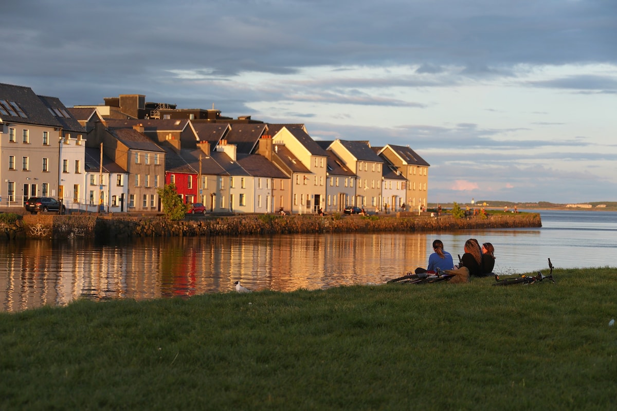 Hillfort in EarlsparkHillfort · 1026 yd
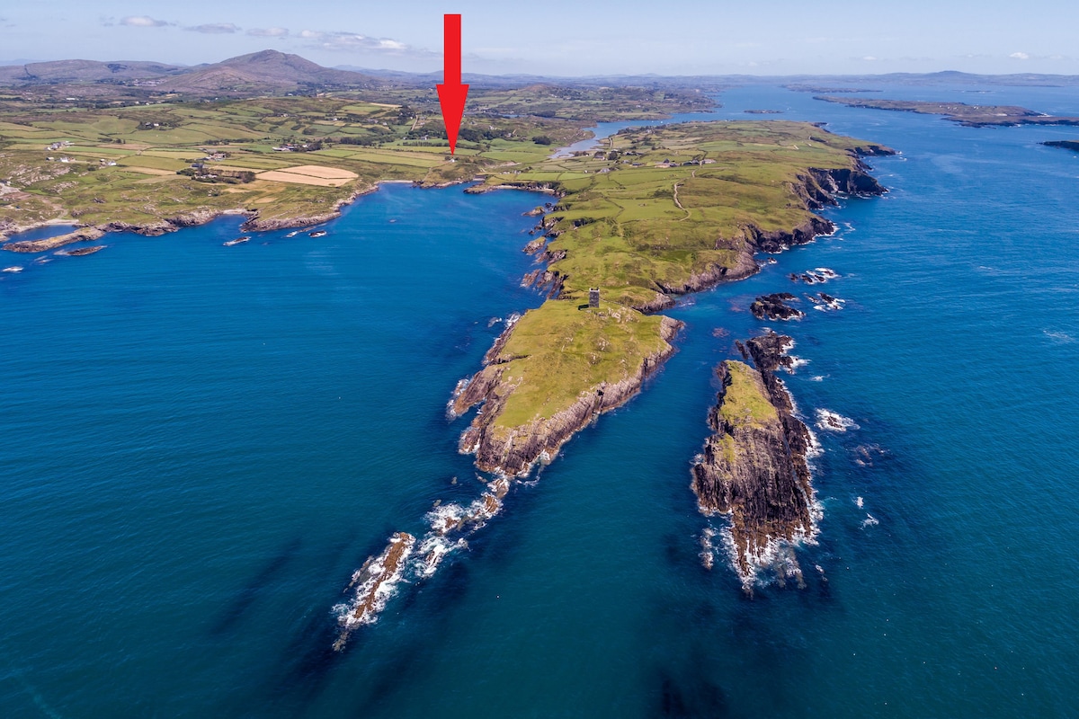 TobermacduaghHoly well · 1102 yd
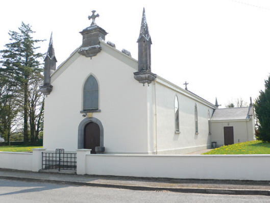 Saint Mary's Catholic Churchchurch/chapel · 1.1 mi
 R.C. Chapel and School Ho.Chapel · 1.1 mi
 Stone Islands SouthIslet · 1.3 mi
 Long PointHeadland · 1.5 mi
 Island McCooIslet · 1.6 mi
 Ballynamantragh CastleCastle, unclassified · 1.7 mi
 Castle (in ruins)Castle, tower house · 2.8 mi
 Dartfield Horse MuseumHeritage attraction · 3.9 mi
 Scalpeen RockNamed rock · 5.3 mi
 Derrybrien Bog SlideHeritage attraction · 6.8 mi