What is recorded here
In pasture, atop limestone crag, on gentle SE-facing slope. Circular area (44m N-S; 43m E-W) defined by substantial dry-stone wall (ext. H 2.4m; int. H 2.4m; Wth 3.35m), best preserved along N arc where incorporated into field boundary system. Entrance (Wth 9.2m) SE->SSE, with boulders dumped against external face at either terminus. Uneven interior, under rough pasture, has scarp edge (H 1.01m) separating irregular lower area to NNW. No longer any evident trace of tower house (LI020-004002-) or Man-made underground passage (LI020-176----) in interior.
Compiled by: Denis Power
Date of upload: 26 August 2011
This monument is subject to a preservation order made under the National Monuments Acts 1930 to 2014 (PO no. 4/1977).
The monument record does not grant public access. Check the route and ask the landowner before entering private land.
- What survives
- Recorded monument
Places near here
 Man-made underground passage in Milltown NorthMan-made underground passage · 1 yd
 Milltown Castle (in ruins)Castle, tower house · 18 yd
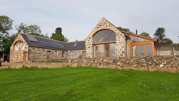 Enclosure in Milltown NorthEnclosure · 297 yd
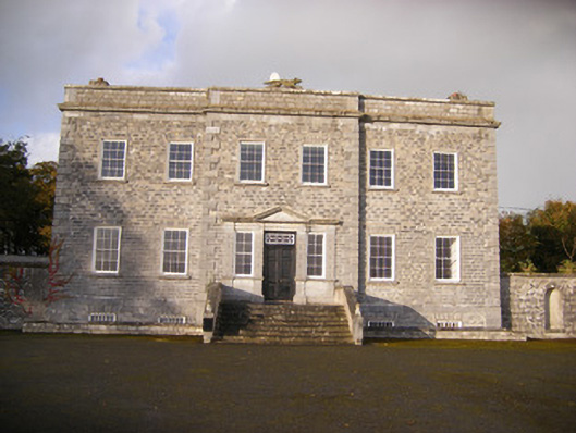 Altavilla Housecountry house · 1062 yd
 Lismakeery Church (in ruins)Church · 1381 yd
 Lismakeery Castle (in ruins)Castle, tower house · 1676 yd
 Askeaton CastleHeritage attraction · 2.0 mi
 Holly IslandIslet · 3.5 mi
 TobernablahySpring · 3.7 mi
 Flat cemetery in CroaghFlat cemetery · 4.1 mi
 St. Kieran's WellSpring · 4.3 mi
 Little HeavenHeritage attraction · 4.4 mi