What is recorded here
Situated on the NW face of a ridge that runs NW-SE in an area of pasture-land. Ringfort (WM007-056----) 420m to SE, earthwork (WM007-051----) 635m to NW. Annotated on the 1837 OS Fair Plan as a fort and gravel pit. Depicted on the 1837 ed. OS 6-inch map as a sub-rectangular earthwork with rounded corners at NW and SW with a gravel pit encroaching on the S quadrant of the earthwork. This site has been levelled. No visible trace of a monument here now. Possible faint crop mark of the quarry visible on Digital Globe aerial photograph taken November 2011.
Compiled by: Frank Coyne and Caimin O'Brien
Date of upload: 14 April 2017
This remains an important historical record, but the official description says the monument is no longer visible or has been destroyed. The monument record does not grant public access. Check the route and ask the landowner before entering private land.
- What survives
- No visible remains or recorded as destroyed
Places near here
 Enclosure in Milltown (fore By.)Enclosure · 429 yd
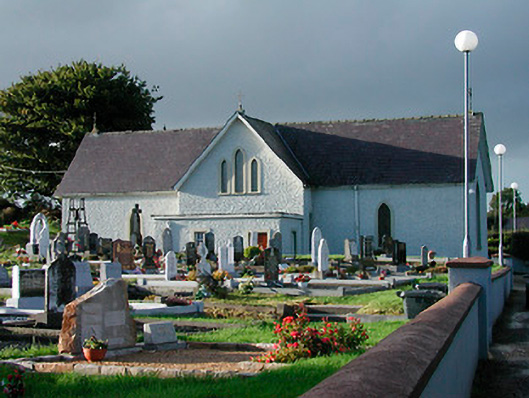 Catholic Church of Saint John the Baptistchurch/chapel · 533 yd
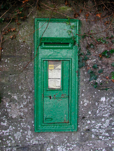 post boxpost box · 546 yd
 Partially hachuredFairy fort / earthen ringfort · 710 yd
 KnockeyonMountain / peak · 1.3 mi
 Mortimer's CastleArchaeological place · 2.0 mi
 Bawn in KiltoomBawn · 2.2 mi
 European BeechEuropean Beech · 3.3 mi
 Silver FirSilver Fir · 3.3 mi
 South East GateHeritage attraction · 3.7 mi
 St Feichin's MillHeritage attraction · 3.8 mi
 Bridge Memorial (Kenna)Memorial · 4.2 mi