What is recorded here
Indicated is a trapezoidal enclosure in County Cork, Ireland, measuring roughly thirty metres north-west to south-east and twenty-five metres north-east to south-west. Bowman recorded it in 1934 as a fort on a small hill belonging to Mr Murphy, describing an irregular quadrangle with sides of twenty-eight, twenty-six, nineteen and eighteen yards. The north half of its interior has since been absorbed into the grounds of a bungalow, while scarps still mark the south-west and south-east boundaries beside a quarry. What remains is a level patch of earth where a deliberate shape once held against the sky.
Depicted as trapezoidal enclosure (c. 30m NW-SE; max. L c. 25m NE-SW) on 1842 OS 6-inch map. In pasture, immediately to N of quarry. Levelled; scarp forming SW (L c. 22m) and SE (L c. 15m) sides defines level area of interior; N half of interior incorporated into grounds of bungalow. Recorded by Bowman (1934, 81) as fort on summit of small hill on Mr Murphy's land: 'an irregular quadrangle, the sides being 28 yards, 26 yards, 19 yards and 18 yards'.
The above description is derived from the published 'Archaeological Inventory of County Cork. Volume 4: North Cork' (Dublin: Stationery Office, 2000). In certain instances the entries have been revised and updated in the light of recent research.
Date of upload/revision: 14 January 2009
The monument record does not grant public access. Check the route and ask the landowner before entering private land.
- What survives
- Recorded monument
Places near here
 Three CountiesPicnic place · 383 yd
 Enclosure in AcresEnclosure · 753 yd
 Fulacht fia in KnockcoolkeareFulacht fia · 1302 yd
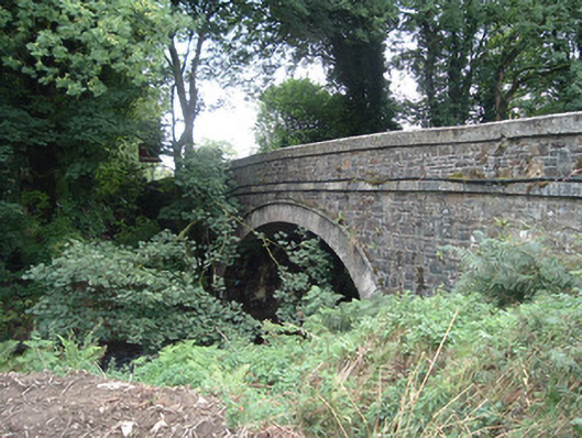 Breanagh Bridgebridge · 1723 yd
 Mountcollins Bridgebridge · 1.4 mi
 Rock HillMountain / peak · 4.2 mi
 KnockacummerMountain / peak · 5.5 mi
 Glenquin CastleCastle · 7.3 mi
 TobereenalaffinaSpring · 7.4 mi
 Saint Ite's WellSpring · 8.2 mi
 Dotted outlineBawn · 8.2 mi
 Crag CaveCave · 10 mi