What is recorded here
The following description is derived from both the published 'Archaeological Inventory of County Louth' (Dublin: Stationery Office, 1986) and the 'Archaeological Survey of County Louth' (Dublin: Stationery Office, 1991). In certain instances the entries have been revised and updated in the light of recent research.
Date of upload/revision: 17 July 2007
Situated in a slight hummock. The site was discovered during landscaping in 1987. The Man-made underground passage consists of a passage (L 8m, Wth 1m, H 1-1.6m) extending NW from the original sloping entrance at the S. At the NW end of the first passage is a second passage (L 12.5m, Wth 1m, H 1.6m) extending NE-SW. This passage terminates in a bulbous widening, incorporating a drop-hole (dims. 0.8m square) at the S. A passage (L 5m, Wth 1m, H 1-1.3m) extends SW from the drop-hole at a lower level and terminates in a sub-rectangular chamber (2m by 2.2m, H 1.8m) which has been partially cut into bedrock. A creep 2m along the third passage from the drop-hole constricts the passage (Wth 0.7m, H 0.6m). The walls of the Man-made underground passage are drystone-built throughout, except for the basal course of the terminal chamber.
The monument record does not grant public access. Check the route and ask the landowner before entering private land.
- What survives
- Recorded monument
Places near here
 Enclosure in Marshes UpperEnclosure · 2 yd
 Dundalk Institute of Technologyfactory · 818 yd
 Ladys Well (Disused)Holy well · 1050 yd
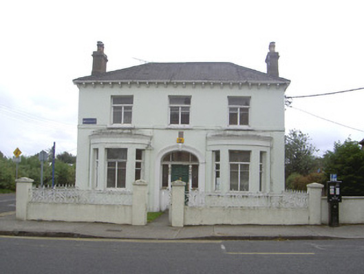 Wilton Househouse · 1661 yd
 Louth County MuseumMuseum · 1.2 mi
 Bombing 1975Memorial · 1.2 mi
 Maid of ErinMemorial · 1.2 mi
 Photo GalleryHeritage attraction · 1.3 mi
 Soldiers' PointHeadland · 2.2 mi
 Castletown MotteArchaeological place · 2.4 mi
 CastleCastle, unclassified · 2.4 mi
 Battle of FaughartMajor battlefield · 3.8 mi