What is recorded here
Within the demesne of Markree Castle (SL026-038----), in level damp pasture, immediately N of woodland enclosed by the demesne wall. A low circular earthen platform (33m E-W; 34m N-S) defined SW-ENE by a low degraded scarp (H 0.4m) and E-SSW by a vertical scarp (H 1m). Centrally placed on top of the platform is a circular earthen plinth (diam. 10.5m; H 1.1m) topped by a ruined square stone turret (4.2m N-S; 4.3m E-W; H 4m). The turret has a brick-built chimney in the NW corner, a small splayed window in the N wall, a second window in the S wall and a door ope (Wth 0.8m) in the W wall. Encircling the base of the plinth is a shallow fosse (Wth 2m) crossed by a causeway at S. The demesne wall curves around the base of the platform E-SSW, at a distance of 1.6m from it. Though the turret is of 18th/19th-century date, the platform may be the remains of an earlier earthwork.
The above description is derived from the published 'Archaeological Inventory of County Sligo' compiled by Ursula Egan, Elizabeth Byrne, Mary Sleeman with Sheila Ronan and Connie Murphy (Dublin Stationery Office, 2005).
Date of upload: 18 January 2008
The monument record does not grant public access. Check the route and ask the landowner before entering private land.
- What survives
- Recorded monument
Places near here
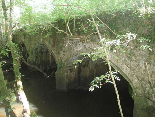 Markree Castlebridge · 336 yd
 RathgranFairy fort / earthen ringfort · 791 yd
 Indicated (1838).Fairy fort / earthen ringfort · 791 yd
 Field MapleField Maple · 793 yd
 European ashEuropean ash · 921 yd
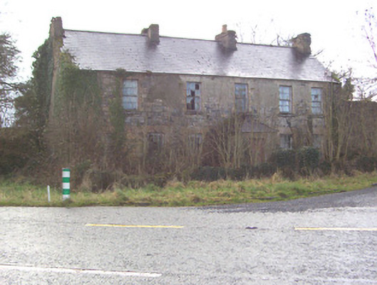 Toberscanavan Househouse · 1378 yd
 CastleCastle, motte and bailey · 1389 yd
 Castle (Site of)Castle, unclassified · 1.6 mi
 Teeling MonumentMemorial · 1.6 mi
 Battle of Collooneybattle · 1.6 mi
 Giants GraveArchaeological place · 2.6 mi
 BunreecoillMountain / peak · 2.7 mi