What is recorded here
Indicated was a stone ringfort on the SE shoulder of a Cavan hillside, marked Fort on both the 1836 and 1876 maps before people levelled it in the early 1980s and built a house across part of the scar. It had the shape of a boundary, a circle of stones set in rough mountain ground, and households may have stood inside it or passed it without knowing they were using an old address. The fortress is gone, but the house still occupies its place, turning a lost fort into a living room and forcing every resident to inherit a name no longer visible.
Marked 'Fort' on OS 1836 and 1876 eds. Situated on the SE shoulder of a hillside in rough mountainous terrain. Levelled in the early 1980s, the site is now partly occupied by a modern dwelling-house. It was known locally as a 'stone fort'.
The above description is derived from the published 'Archaeological Inventory of County Cavan' (Dublin: Stationery Office, 1995). In certain instances the entries have been revised and updated in the light of recent research.
Date of upload/revision: 22 December 2008
The monument record does not grant public access. Check the route and ask the landowner before entering private land.
- What survives
- Recorded monument
Places near here
 Rocking StoneArchaeological place · 741 yd
 IndicatedEnclosure · 1043 yd
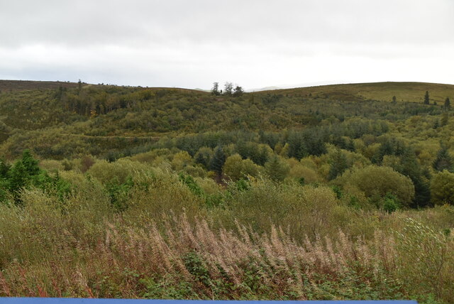 Cavan Burren ParkForest · 1336 yd
 Dolines/SinkholesCave · 1434 yd
 CavernsCave · 1455 yd
 Cavan BurrenHeritage attraction · 1499 yd
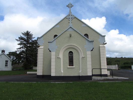 St Felim’s Roman Catholic Churchchurch/chapel · 1525 yd
 Boulder GraveyardArchaeological place · 1555 yd
 BurrenMountain / peak · 1589 yd
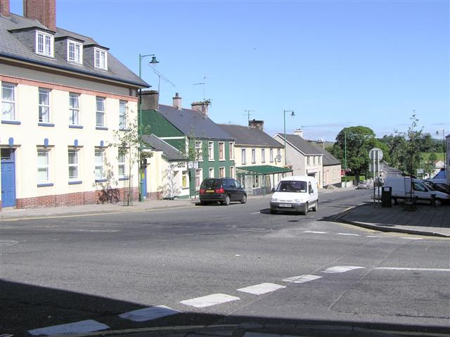 DerrennacoolaMountain / peak · 1.3 mi
 Marlbank ViewpointViewpoint · 1.7 mi
 SETTLEMENT: STONE ENCLOSURES [FIELD SYSTEM] AND HOUSE PLATFORMS in ClyhannaghSETTLEMENT: STONE ENCLOSURES [FIELD SYSTEM] AND HOUSE PLATFORMS · 2.2 mi