What is recorded here
Marked on the 1st edition of the OS 6-inch map as a large sand pit. Not shown on the 1898 resurvey of the map but the name 'Fairy House', in Gothic script, had been added. However, this name was appended to a building c. 190m to the SE - see GA053-004---- on the 1st edition map, so its inclusion on the 1898 resurvey may relate to a mapping error. The site was not visited but the cartographic evidence suggests it was a quarry. As it is of post-AD 1700 date it does not come within the remit of the Archaeological Survey of Ireland.
Compiled by: Olive Alcock
Date of upload: 9 July 2014
The monument record does not grant public access. Check the route and ask the landowner before entering private land.
- What survives
- Recorded monument
Places near here
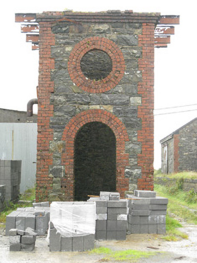 Maam Cross Railway Stationrailway station · 1.5 mi
 bridgebridge · 1.5 mi
 LackavreaMountain / peak · 2.5 mi
 Derroura ForestForest · 2.7 mi
 CastlekirkCastle · 2.7 mi
 Toberfeheen (Site of)Holy well · 2.7 mi
 Screebe WaterfallWaterfall · 2.9 mi
 KeeraunnageeraghMountain / peak · 3.2 mi
 Farnaght RoeillaunIslet · 3.7 mi
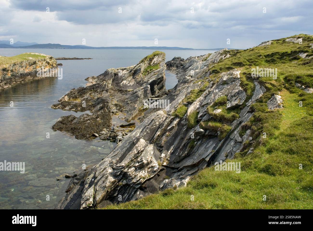 Bilberry IslandIslet · 3.8 mi
 IndicatedEnclosure · 4.0 mi
 Glengowla MinesHeritage attraction · 5.8 mi