What is recorded here
On the summit of a hillock in undulating grassland. Poorly preserved conjoined rath. The NW rath (GA087-176----), subcircular in plan (N-S 22m, E-W 20.5m), is defined by a bank of earth and stone, overlain from NE through E to S by a field wall. Within its interior is a CBG (GA087-176001-). The SE rath (GA087-176002-), kidney-shaped in plan (NE-SW 29.5m, NW-SE 17.5m), is defined by a bank of earth and stone and external fosse; the latter survives from E to S. Entrance causeway (Wth 2m) at SE. Within the interior are a number of randomly placed boulders. (Egan 1960, 16)
The above description is derived from the published 'Archaeological Inventory of County Galway Vol. II - North Galway'. Compiled by Olive Alcock, Kathy de hÓra and Paul Gosling (Dublin: Stationery Office, 1999). In certain instances the entries have been revised and updated in the light of recent research.
Updated by: Olive Alcock
Date of revised upload: 8 December 2016
The monument record does not grant public access. Check the route and ask the landowner before entering private land.
- What survives
- Recorded monument
Places near here
 Urraghry HillMountain / peak · 1148 yd
 Enclosure in Garbally Demesne,loughbownEnclosure · 1156 yd
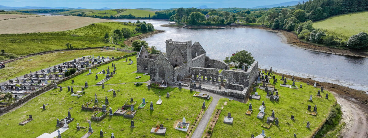 Caltragh FortEnclosure · 1325 yd
 West WoodWood · 1386 yd
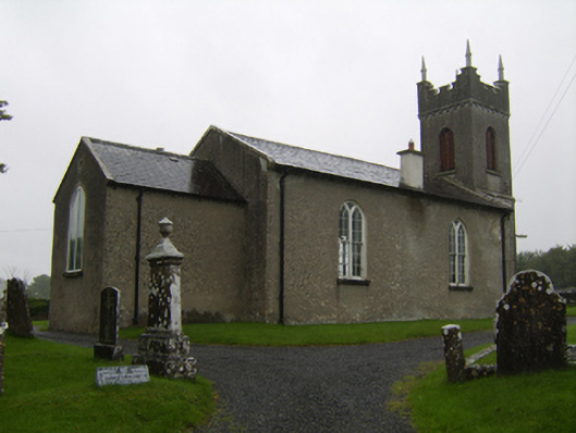 Saint Matthew's Church (Clontuskert)church/chapel · 1.1 mi
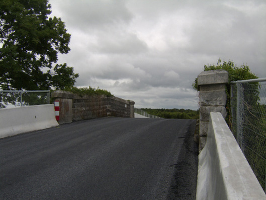 bridgebridge · 1.6 mi
 The bloody HollowHeritage attraction · 1.6 mi
 Castle (Site of)Castle, Anglo-Norman masonry castle · 1.7 mi
 Battle of AughrimMajor battlefield · 1.8 mi
 Battle of Aughrim Interpretative CentreMuseum · 1.8 mi
 Ballagh Castle (in Ruins)Castle, unclassified · 2.3 mi
 Oak WoodWood · 2.4 mi