What is recorded here
Depicted as an island 180m E of the W shoreline of Lough Ennell on the 1837 ed. OS 6-inch map with Dysart Island 420m to SSE. Depicted as Ash Island on the 1911 revised ed. OS 6-inch map but today located on marshy shoreline of Lough Ennell. Described by O'Sullivan (2004, 82-3) as 'low, oval cairn (approx. dims. 30m N-S x 30m E-W; H 2m) of stones, earth, with stones scattered around the site. It slopes down gradually to the edges. It is located in drained marshy land and is heavily overgrown by trees, but was originally in shallow, open water to the north of Dysart Island. This is a probable crannóg, potentially of early medieval date'.
Compiled by: Caimin O'Brien
Date of upload: 14 February 2017
The monument record does not grant public access. Check the route and ask the landowner before entering private land.
- What survives
- Recorded monument
Places near here
 Ash IslandIslet · 14 yd
 Great IslandBastioned fort · 435 yd
 Dysart IslandIsland · 551 yd
 OutlinedCastle, unclassified · 1086 yd
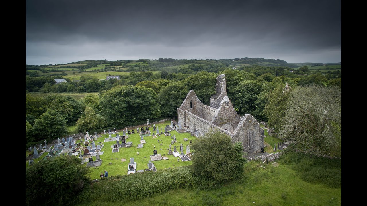 Bawn in Dysart (moyashel & Magheradernon By.)Bawn · 1120 yd
 EnclosureEnclosure, large enclosure · 1514 yd
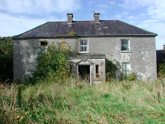 Kilcooley Housefarm house · 1558 yd
 Church (in Ruins)Church · 1.1 mi
 Mollie Moo's Pet FarmHeritage attraction · 1.8 mi
 Belvedere house and gardensVisitor information · 1.9 mi
 Ancient Ring FortWood · 6.5 mi
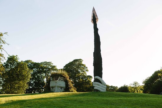 Hachured, Dun-na-SgiathFairy fort / earthen ringfort · 1557 yd