
What is recorded here
Indicated is an oval fairy fort on a Mayo ridge where excellent views stretch across the landscape. Its inner and outer earthen banks still mark a narrow fossed chamber, though ploughing and time have worn much of the outer edge into pasture. The clear northern curve and steep eastern scarp suggest a place made for watching, waiting or being watched rather than ordinary living.
In pasture near the SE end of a ridge, with excellent views throughout. An oval-shaped area (int. diams. 33m E-W; 26m N-S) is defined by the remains of an inner and outer earthen bank with an intervening fosse. The inner bank (int. H 0.7m; Wth 6m; ext. H over base of fosse 1.7m) is best preserved along the N and has been reduced to a scarp (H 2.7m) along the E and S. The fosse (Wth 3m) is traceable from SSW-N-SE but has been dug away at S. The outer bank is poorly preserved, only surviving along the SW (int. H over base of fosse 0.5m; Wth 6m; ext. H 1.5m) and at N. The interior is featureless and slopes down slightly towards the S.
Date of visit: 13-08-2025
Compiled by: Gearóid Conroy
The monument record does not grant public access. Check the route and ask the landowner before entering private land.
- What survives
- Recorded monument
Places near here
 TemplemoreChurch · 947 yd
 Michael DavittMemorial · 1005 yd
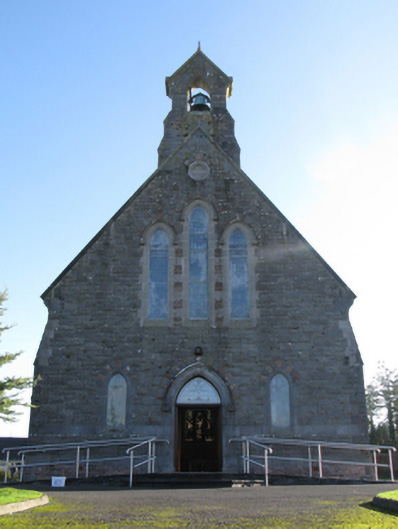 Catholic Church of Saint Peter and Saint Paulchurch/chapel · 1038 yd
 Ballylahan Castle in RuinsCastle, Anglo-Norman masonry castle · 1.5 mi
 LismoreFairy fort / earthen ringfort · 1.7 mi
 Enclosure in TreanybrogaunEnclosure · 2.0 mi
 Castle (in Ruins)Castle, motte · 2.1 mi
 Admiral William BrownMemorial · 3.9 mi
 Oak WoodWood · 3.9 mi
 Foxford Woollen MillsHeritage attraction · 3.9 mi
 National Museum of Ireland, Country LifeMuseum · 4.1 mi
 Sunken GardenWood · 4.2 mi
Other information
Photo: Credit not shown in the picture search · Rights wording not checked; contact us if this picture should be removed