
What is recorded here
Indicated is a lost fairy fort on a Mayo drumlin, reduced from a double-banked rath to barely a field-boundary rumour because human hands favoured useful land over memory. It stood where views ran everywhere, large enough to hold a small life and ordinary enough to be forgotten. Its disappearance is not tragic; it is completion. What is not loved returns to soil, and what is not remembered stops resisting the world.
In pasture, located on a drumlin, which provides good views in all directions. When inspected in 1984, this rath consisted of a subcircular area (33m N−S; 30m E−W) defined by of two low banks with an intervening fosse. At SW−NW the outer bank was incorporated into a N−S field fence, and at NW−NE the fosse and outer bank were truncated by an E−W field fence. The interior sloped gently down from W to E. The rath was subsequently levelled, and when inspected in 1994 there were no above ground remains, except for possible remnants of the outer bank incorporated into the field boundary at W.
Compiled by: Jane O'Shaughnessy
Date of upload: 18 July 2017
The monument record does not grant public access. Check the route and ask the landowner before entering private land.
- What survives
- Recorded monument
Places near here
 TemplemoreChurch · 1208 yd
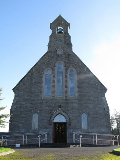 Catholic Church of Saint Peter and Saint Paulchurch/chapel · 1362 yd
 Michael DavittMemorial · 1373 yd
 Ballylahan Castle in RuinsCastle, Anglo-Norman masonry castle · 1.3 mi
 LismoreFairy fort / earthen ringfort · 1.7 mi
 Shonagawna Castle in RuinsCastle, unclassified · 2.0 mi
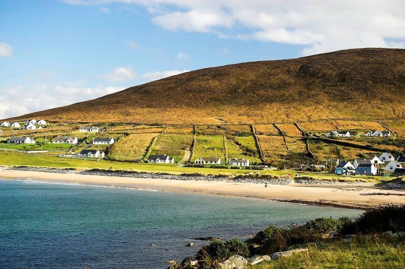 InidcatedFairy fort / earthen ringfort · 2.0 mi
 Admiral William BrownMemorial · 3.6 mi
 Foxford Woollen MillsHeritage attraction · 3.6 mi
 Lough CullinViewpoint · 3.9 mi
 Drummin ForestForest · 4.0 mi
 Oak WoodWood · 4.2 mi
Other information
Photo: Credit not shown in the picture search · Rights wording not checked; contact us if this picture should be removed