
What is recorded here
In pasture, located on a rise in undulating terrain. Views are extensive to N−SE. Ground rises gently to SW. There is a stream 150m to W.
Substantially raised subcircular area or platform (26.5m N−S; 24.6m E−W) defined by a scarp (H 1.8-2m) which is consistently high around the circuit. The scarp is incorporated into a field fence at NNW−NE but retains its curve. Elsewhere the scarp has a very vertical external face, probably a modification dating to the modern era, and is engulfed in brambles.
The interior slopes gently down to ESE. There is no obvious entrance; eroded sections of the scarp at E and NW are used by cattle. Animal burrow are evident in the SW and NE quadrants. Another rath (MA 071-123----) is located 290m to NW.
Compiled by: Jane O’Shaughnessy
Date of upload: 25 August 2021
The monument record does not grant public access. Check the route and ask the landowner before entering private land.
- What survives
- Recorded monument
Places near here
 Dan's Cottagefarm house · 1252 yd
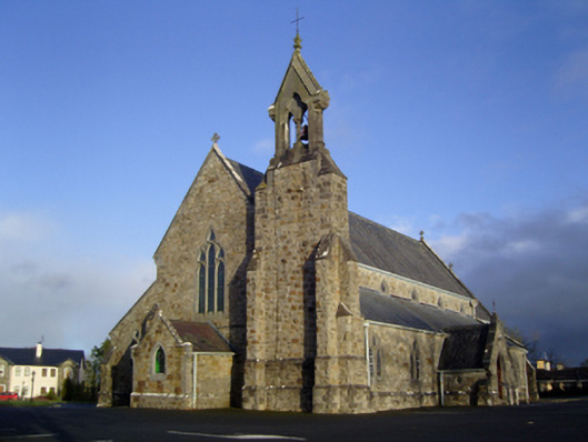 Catholic Church of the Immaculate Conception and Saint Josephchurch/chapel · 1.1 mi
 Enclosure in BoholaEnclosure · 1.6 mi
 Enclosure in Clooneen (gallen By.)Enclosure · 1.7 mi
 Castle in ruinsCastle, tower house · 2.1 mi
 Thorn CaveCave · 2.6 mi
 I'll Send You The FareMemorial · 3.2 mi
 Kiltimagh MuseumMuseum · 3.4 mi
 Carrowbeg WoodWood · 3.7 mi
 Shonagawna Castle in RuinsCastle, unclassified · 3.9 mi
 Michael DavittMemorial · 4.3 mi
 Brabazon WoodsForest · 5.3 mi
Other information
Photo: Credit not shown in the picture search · Rights wording not checked; contact us if this picture should be removed