
What is recorded here
Indicated is a fairy fort in County Kerry, Ireland. It stands on a south-facing slope above Kenmare Bay, marked by a circular earth and stone bank with an entrance at the east. The interior remains level beneath grass and ferns, while field boundaries now cut through or abut the ancient rim.
In pasture, on a break on a S-facing slope overlooking Kenmare Bay. A raised circular area (23m E-W; 22m N-S) defined by an earth and stone bank (Wth 5.2m; int. H 0.5m; ext. H 2.2m). A gap in the bank at W has been infilled. An E-W field boundary incorporates the N arc of the bank and a second E-W field boundary abuts the bank at SSE. The outer face of the bank has been cut back SSE-WNW. The entrance is at ESE. The level interior is covered in grass and ferns.
The above description is derived from the published 'Archaeological Inventory of County Kerry. Volume I: South-West Kerry' (Dublin: Stationery Office, 2009). In certain instances the entries have been revised and updated in the light of recent research.
Date of upload: 30 May 2011
The monument record does not grant public access. Check the route and ask the landowner before entering private land.
- What survives
- Recorded monument
Places near here
 Man-made underground passage in KillowenMan-made underground passage · 663 yd
 Burnt spread in KillowenBurnt spread · 772 yd
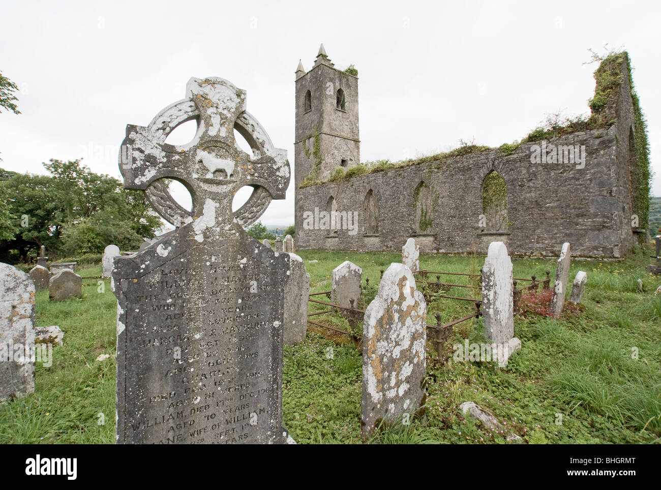
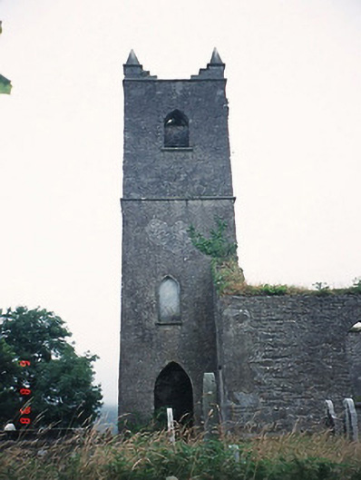 Kenmare Churchchurch/chapel · 957 yd
 Killowen ChurchRuins · 957 yd
 The Lodge WoodWood · 1481 yd
 StrickeenMountain / peak · 1513 yd
 Monterey CypressMonterey Cypress · 1753 yd
 Kenmare Tourist Information OfficeVisitor information · 1.0 mi
 Kenmare Heritage Town - Main StreetMemorial · 1.0 mi
 Mill Cove Gallery / John Brennan StudioGallery · 1.0 mi
 Cleo GalleryGallery · 1.1 mi
 CastleCastle, unclassified · 1.2 mi
Other information
Photo: Credit not shown in the picture search · Rights wording not checked; contact us if this picture should be removed