What is recorded here
The fairy fort or earthen ringfort in Lissalough is in County Sligo, Ireland. It occupies a gentle northeast-facing pasture slope and presents a twenty-four-metre circular plan shaped by two earthen banks separated by a deep fosse. The substantial inner bank reaches three-point-four metres externally, while a possible stone revetment and a low terraced area with a stone kerb remain visible inside the western half.
In pasture, on a gentle NE-facing slope with excellent views of the surrounding countryside. A raised circular area (24m NW-SE) defined by two earthen banks and an intervening fosse. The inner bank is substantial (Wth 6.4m; int. H 1.6m; ext. H 3.4m), best preserved S-N and low internally N-S. Remains of a possible internal stone revetment were noted. The entrance (Wth 2m) is at SE, the S side of which is stone-faced. A deep fosse (Wth 5m) is evident SSE-NW. Remnants of an outer bank (Wth 4.5m; int. H 1.8m; ext. H 0.85m) are evident SSE-SSW and NNW-NE. The interior slopes gently down towards SE. In the W half, against the internal face of the bank, is a low terrace (c. 5m E-W; c. 10m N-S; H 0.35m) with a stone kerb along its outer edge. The N end of this terrace is more well defined than the rest. A field boundary has been built against the external edge of the inner bank, on the line of the fosse N-NE. A mound barrow (SL025-061----) lies c. 80m to SW.
The above description is derived from the published 'Archaeological Inventory of County Sligo' compiled by Ursula Egan, Elizabeth Byrne, Mary Sleeman with Sheila Ronan and Connie Murphy (Dublin Stationery Office, 2005).
Date of upload: 18 January 2008
The monument record does not grant public access. Check the route and ask the landowner before entering private land.
- What survives
- Recorded monument
Places near here
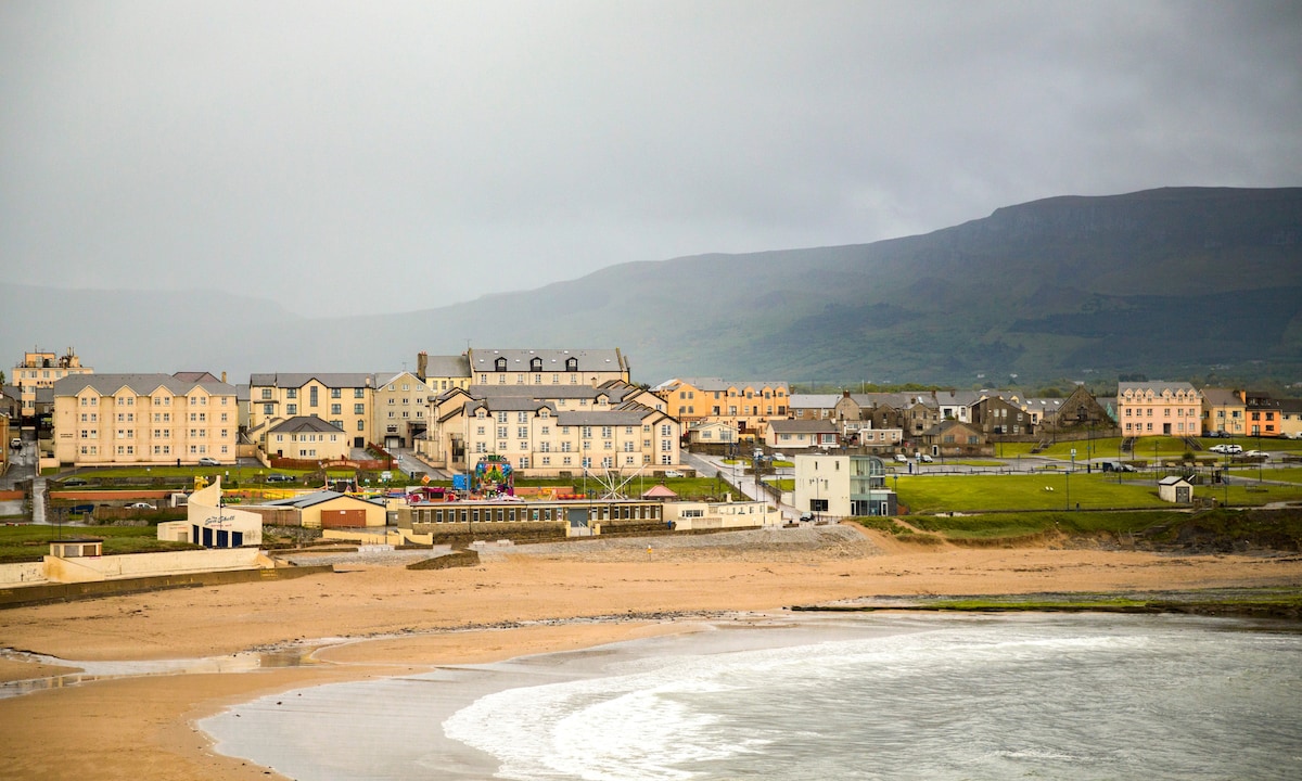 IndicatedFairy fort / earthen ringfort · 464 yd
 ÌndicatedEnclosure · 1368 yd
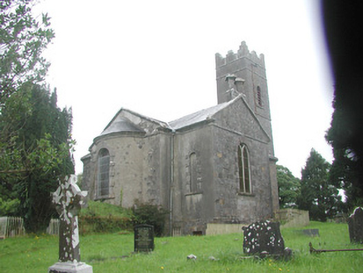 Killoran Churchchurch/chapel · 1424 yd
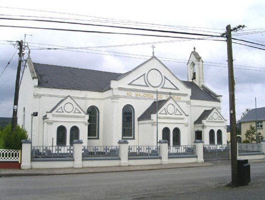 Catholic Church of the Sacred Heart and Saint Josephchurch/chapel · 1485 yd
 Tullaghan HillMountain / peak · 2.6 mi
 Moymlough Castle (in Ruins)Castle, tower house · 2.7 mi
 European ashEuropean ash · 2.8 mi
 DoomoreMountain / peak · 2.9 mi
 ElderElder · 3.4 mi
 CastleCastle, unclassified · 4.0 mi
 RinnatalleenHeadland · 4.7 mi
 Derinch PointHeadland · 4.9 mi