What is recorded here
The fairy fort or earthen ringfort in Lissalough is in County Sligo, Ireland. It occupies a pasture rise at the west end of a ridge and contains a circular grass-covered area measuring thirty point five metres east to west. An earthen bank four point one metres wide surrounds the space, while two gaps mark the southeast and north sides. A small heap of sod-covered stones sits off centre to the east, and hawthorn bushes grow along the perimeter.
In pasture, on a rise at the W end of a ridge. A circular raised area (30.5m E-W) enclosed by an earthen bank (Wth 4.1m; int. H 1.1m; ext. H 1.7m) with an internal stone revetment. Gaps occur in the bank at SE (Wth c. 1.5m) and N (Wth 1m). The interior slopes slightly down to E and there is a small heap of sod-covered stones (diam. c. 3m) off-centre to E. Some hawthorn bushes grow on the perimeter, otherwise the rath is grass-covered.
The above description is derived from the published 'Archaeological Inventory of County Sligo' compiled by Ursula Egan, Elizabeth Byrne, Mary Sleeman with Sheila Ronan and Connie Murphy (Dublin Stationery Office, 2005).
Date of upload: 18 January 2008
The monument record does not grant public access. Check the route and ask the landowner before entering private land.
- What survives
- Recorded monument
Places near here
 Church (in Ruins)Church · 1502 yd
 ÌndicatedEnclosure · 1618 yd
 Enclosure in Knockadoo (leyny By.)Enclosure · 1623 yd
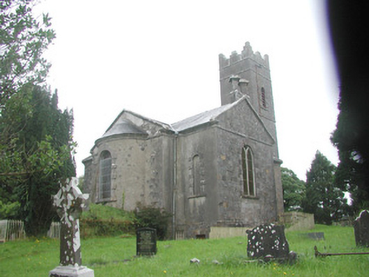 Killoran Churchchurch/chapel · 1.0 mi
 European ashEuropean ash · 2.8 mi
 Tullaghan HillMountain / peak · 2.9 mi
 Moymlough Castle (in Ruins)Castle, tower house · 3.0 mi
 DoomoreMountain / peak · 3.1 mi
 ElderElder · 3.4 mi
 CastleCastle, unclassified · 3.8 mi
 RinnatalleenHeadland · 4.9 mi
 Derinch PointHeadland · 5.1 mi
Other information
Photo: Credit not shown in the picture search · Rights wording not checked; contact us if this picture should be removed