What is recorded here
Indicated is a barrow, mound barrow in Lissalough, County Sligo, Ireland. It stands on a ridge summit in pasture, overlooking the Ox Mountains and Knocknashee Hill. The roughly D-shaped mound measures about nine metres across and has a straight eastern side. A small heap of stones and a curving scarp appear near its base.
In pasture, on the summit of a ridge with excellent views of the surrounding countryside, the Ox Mountains to NE and Knocknashee Hill to SW. Indicated on the 1914 OS 6-inch map as a small circular mound. It is now evident as a roughly D-shaped mound (diam. c. 9m) of uneven height with a straight E side (H 1.4m). The S edge of the mound is almost vertical (H 0.7m) while on the W and N edges the slope is broader (max. H 1.8m). The top of the mound slopes down to E though there is a level area (Wth 2m) towards the S and SW. The mound is covered in long grass. A small heap of stones was noted c. 4.6m to E. A gently curving scarp (H 1.1m), c. 3m to S, extends W for several metres towards an adjacent field boundary. A rath (SL025-062----) lies c. 80m to NE.
The above description is derived from the published 'Archaeological Inventory of County Sligo' compiled by Ursula Egan, Elizabeth Byrne, Mary Sleeman with Sheila Ronan and Connie Murphy (Dublin Stationery Office, 2005).
Date of upload: 28 October 2011
A Neolithic passage tomb, likely dating to the 4th to 3rd millennium BCE. Its location on a prominent ridge suggests ritual or ceremonial significance, possibly as a marker or focal point within a wider landscape of prehistoric monuments.
The monument record does not grant public access. Check the route and ask the landowner before entering private land.
- What survives
- Recorded monument
Places near here
 IndicatedFairy fort / earthen ringfort · 342 yd
 ÌndicatedEnclosure · 1437 yd
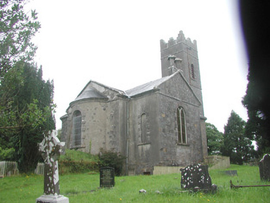 Killoran Churchchurch/chapel · 1521 yd
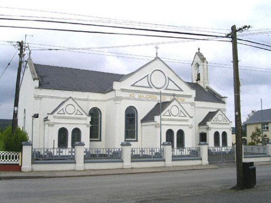 Catholic Church of the Sacred Heart and Saint Josephchurch/chapel · 1587 yd
 Tullaghan HillMountain / peak · 2.7 mi
 Moymlough Castle (in Ruins)Castle, tower house · 2.8 mi
 European ashEuropean ash · 2.8 mi
 DoomoreMountain / peak · 3.0 mi
 ElderElder · 3.4 mi
 CastleCastle, unclassified · 4.0 mi
 RinnatalleenHeadland · 4.7 mi
 Derinch PointHeadland · 5.0 mi