What is recorded here
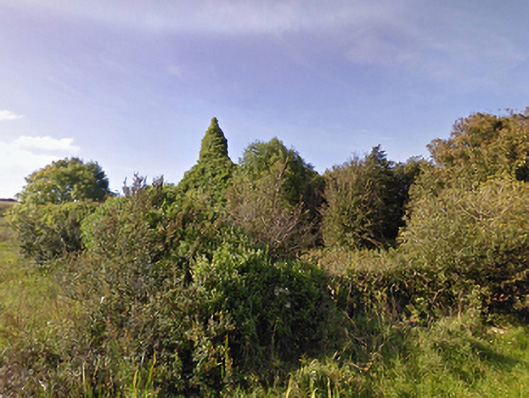
Indicated is a fairy fort in County Mayo, Ireland, where a substantial bank still encloses a raised subcircular area thirty-eight and a half metres across. The bank holds large stones, including three uprights and a partially buried stone at E, while a disused field boundary divides the wet interior into two rough portions. A rectangular structure in the northern half may be the remains of a house, suggesting the fort was not merely a marker for fantasy but a lived boundary between pasture, memory and human claim.
In wet pasture, on a gentle ENE-facing slope. Shown on the 1838 OS 6-inch map as a square enclosure planted with trees, and as a hachured subcircular enclosure on the 1922 edition. Raised subcircular area (diam. 38.5m) enclosed by a substantial bank. The bank incorporates large stones, including three uprights and a partially buried stone at E. The interior is divided into two roughly equal portions by a now disused E–W field boundary. A rectangular structure in the N half of the interior may be the remains of a house (MA014-013001-).
Compiled by: Jane O'Shaughnessy
Date of upload: 6 February 2015
The monument record does not grant public access. Check the route and ask the landowner before entering private land.
- What survives
- Recorded monument
Places near here
 LissadroneFairy fort / earthen ringfort · 274 yd
 Church (in Ruins)Church · 661 yd
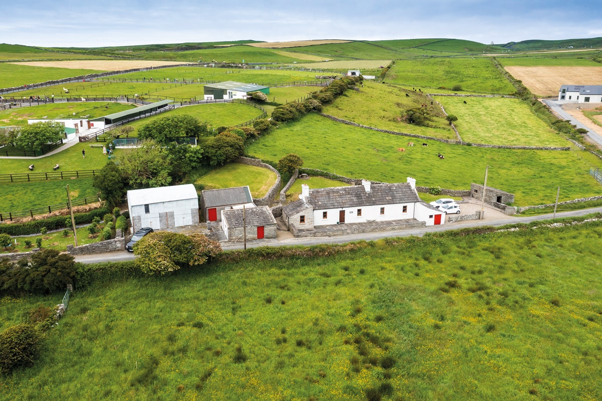 Enclosure in Lissadrone EastEnclosure · 886 yd
 CastleCastle, unclassified · 1284 yd
 Lackan Church (Lackan)church/chapel · 1294 yd
 Bawn in CarrickanassBawn · 2.1 mi
 Lisheen Grave YardArchaeological place · 2.8 mi
 TrabaunBeach / strand · 2.8 mi
 French Landing 1798Memorial · 3.0 mi
 PollatarriveCliff · 3.4 mi
 Ballycastle BeachBeach / strand · 4.3 mi
 Rinnaun PointHeadland · 4.4 mi