What is recorded here
In pasture, located on land that flanks the approach to Lissadrone House, now in ruins. Listed in the RMP (1996) as an enclosure based on its depiction on the 1838 and 1922 OS 6-inch maps as a circular enclosure (diam. c. 25m) planted with trees. Field investigation in 1995 determined that it is a tree-ring. There is a rath (MA014-016----) c. 45m to N.
Compiled by: Jane O'Shaughnessy
Date of upload: 28 January 2015
The monument record does not grant public access. Check the route and ask the landowner before entering private land.
- What survives
- Recorded monument
Places near here
 Church (in Ruins)Church · 431 yd
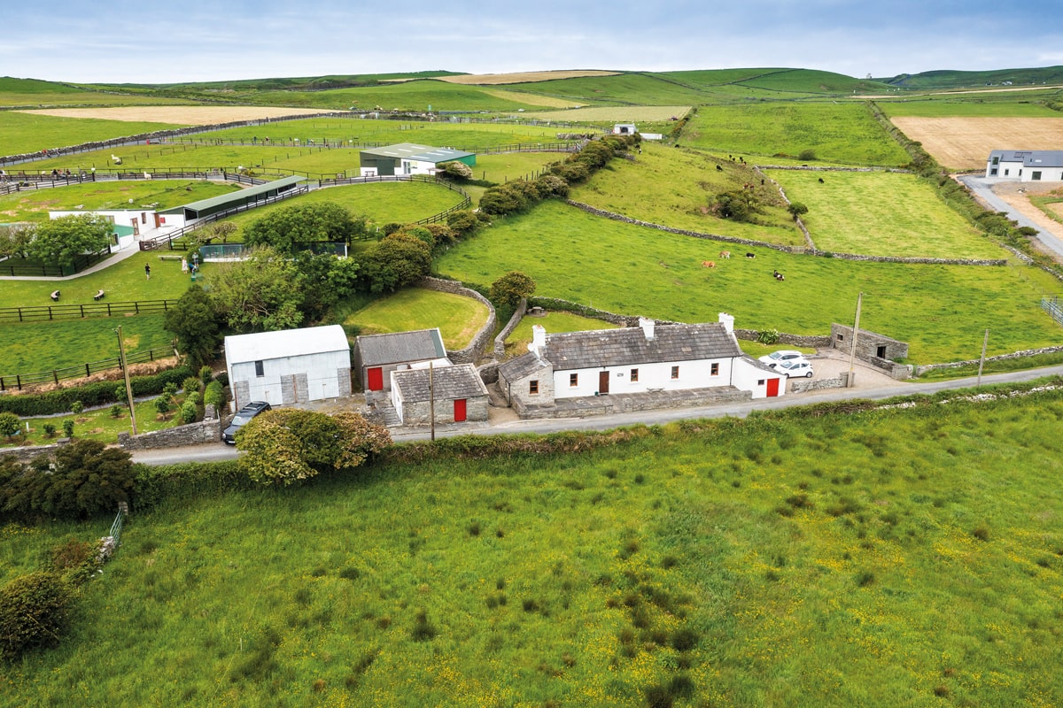 Enclosure in Lissadrone EastEnclosure · 527 yd
 LissadroneFairy fort / earthen ringfort · 761 yd
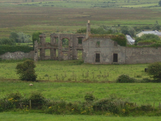 Castlelackancountry house · 816 yd
 CastleCastle, unclassified · 830 yd
 Bawn in CarrickanassBawn · 2.1 mi
 TrabaunBeach / strand · 2.6 mi
 French Landing 1798Memorial · 2.7 mi
 Lisheen Grave YardArchaeological place · 3.1 mi
 PollatarriveCliff · 3.6 mi
 Rinnaun PointHeadland · 4.2 mi
 Green IslandIslet · 4.5 mi