What is recorded here
Indicated is a fairy fort or earthen ringfort in Lisroyne, County Roscommon, Ireland. A 1965 description recorded a circular area with an earthen bank, outer fosse and southeast entrance, but the site is no longer visible in pasture. Archaeological testing immediately to the south found no related material.
On a slight N-facing slope. Described in 1965 as a circular area (diam. c. 40m) defined by an earthen bank (Wth c. 1.5-2.5m; int. H 0.6m; ext. H 1.5m) with an outer fosse (Wth c. 6m; D c. 0.6m) and an entrance at SE (SMR file). It is not now visible in pasture. Archaeological testing (02E0675) immediately to the S failed to produce any related material (Read 2004i).
Compiled by: Michael Moore
Date of upload: 24 August 2010
The monument record does not grant public access. Check the route and ask the landowner before entering private land.
- What survives
- Recorded monument
Places near here
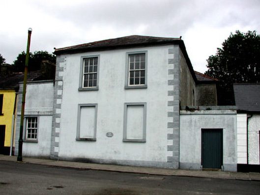 Strokestown Courthousecourt house · 288 yd
 IndicatedFairy fort / earthen ringfort · 305 yd
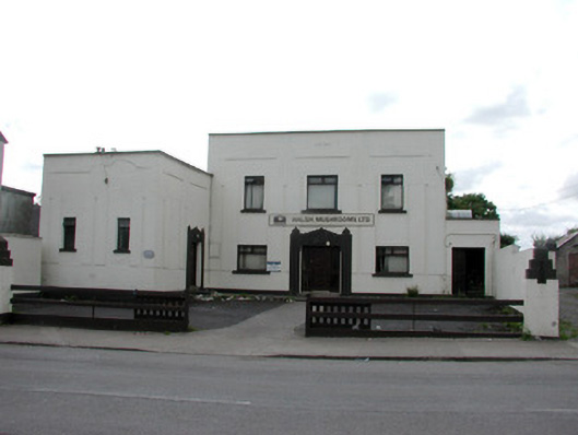 ballroom/dance hall/discoballroom/dance hall/disco · 342 yd
 Sweet ChestnutSweet Chestnut · 556 yd
 Pedunculate OakPedunculate Oak · 759 yd
 Strokestown House GardensHeritage attraction · 1031 yd
 Strokestown ParkHeritage attraction · 1406 yd
 CastleCastle, unclassified · 1.9 mi
 Slieve BawnMountain / peak · 4.4 mi
 Leitrim CastleCastle, unclassified · 4.9 mi
 Goat IslandIslet · 6.0 mi