What is recorded here
In level pastureland. Classified by McCaffrey (1952, 238, no. 119) as a circular ‘Stone fort’ defined by a double-faced wall. A slight rise (H 0.3m) in the field level now indicates the outline of
the enclosing element of this cashel (diam. 36m).
Compiled by: Galway Archaeological Survey, UCG
Date of upload: 18 January 2018
Lisnagranshy is a likely early-medieval ringfort, characterized by a double-faced stone wall and a slight central rise, typical of such defensive or agricultural enclosures in Ireland. While specific folklore is not recorded, like many such sites, it may have later been associated with local fairy tradition due to its ancient and enigmatic nature.
The monument record does not grant public access. Check the route and ask the landowner before entering private land.
- What survives
- Recorded monument
Places near here
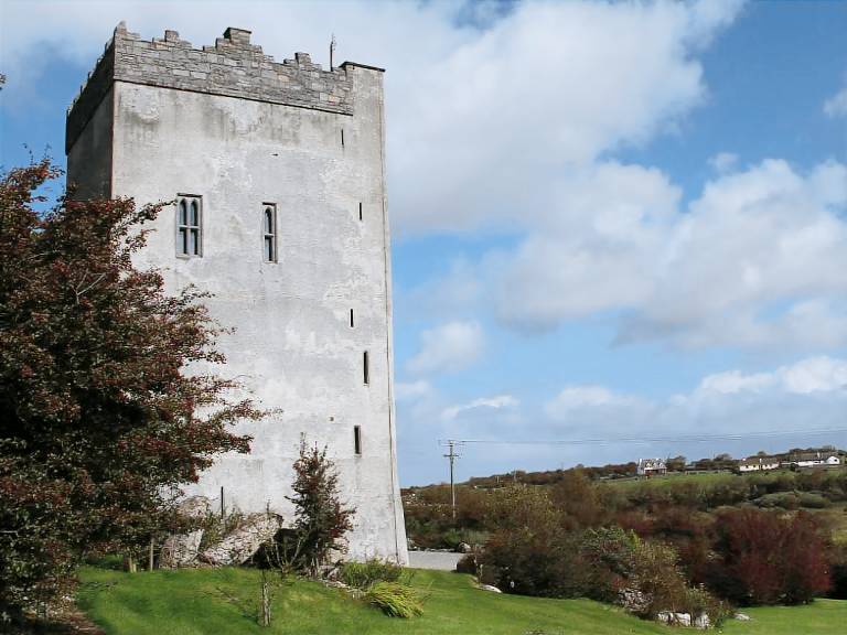 IndicatedFairy fort / stone ringfort · 1739 yd
 Cloghroak Castle (in ruins)Castle, tower house · 1.0 mi
 Field system in Ballybaun (dunkellin By.)Field system · 1.0 mi
 Ardnamoran ChurchChurch · 1.2 mi
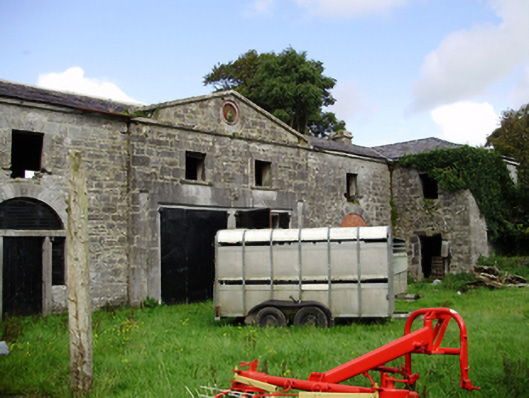 Castle Tayloroutbuilding · 1.4 mi
 Castle (in ruins)Castle, Anglo-Norman masonry castle · 2.5 mi
 Drumharsna CastleHeritage attraction · 4.2 mi
 Kilcornan ForestWood · 4.4 mi
 Loughaun WoodWood · 5.1 mi
 Mulroney's IslandIslet · 7.5 mi
 Mweenish PointHeadland · 8.1 mi
 Mweenish IslandIslet · 8.7 mi